How to Use a Sextant for Celestial Navigation: A Beginner's Guide
Long before GPS, sailors crossed oceans by reading the sky. With a sextant, a reliable timepiece, nautical tables, and a chart, a navigator can use the sun, moon, planets, or stars to estimate their position at sea. While modern electronics make navigation easier, learning how to use a sextant remains one of the most rewarding and practical skills a sailor can develop.
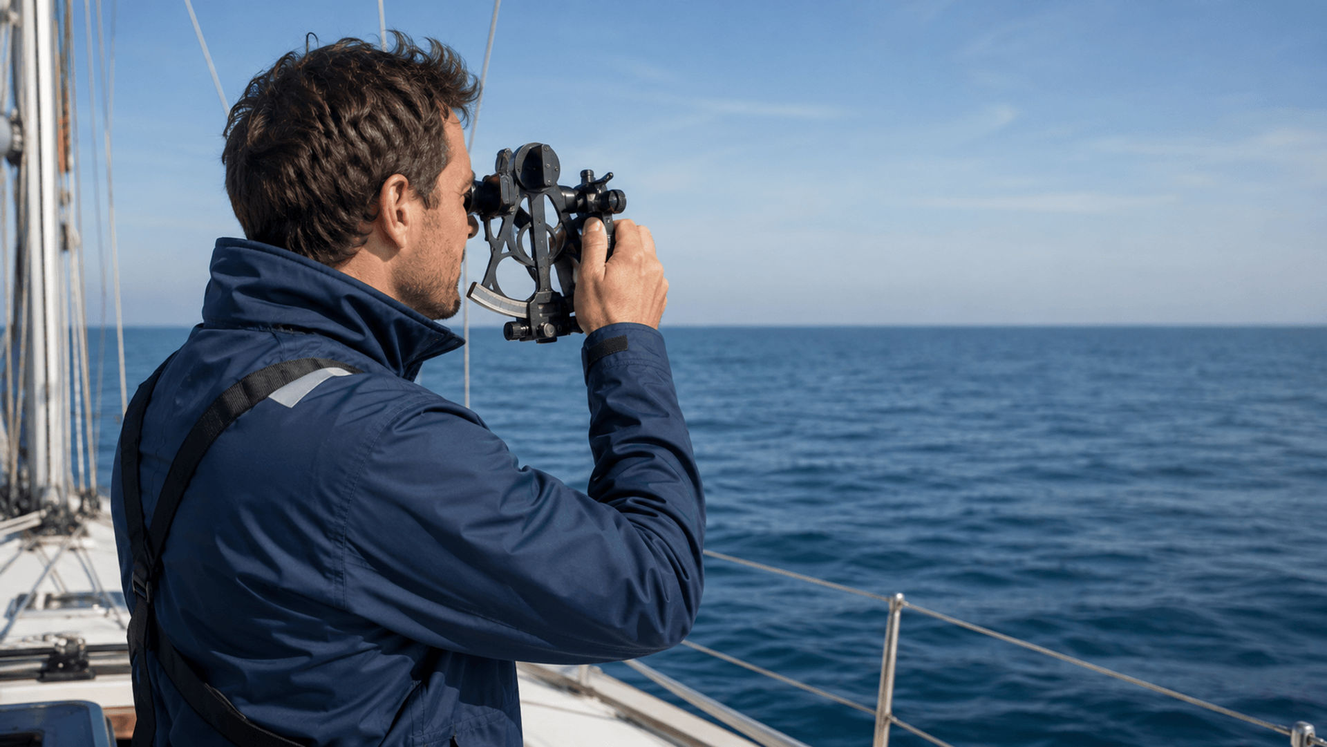
A sextant measures the angle between a celestial body and the visible horizon. When that angle is combined with the exact time of the observation, navigators can calculate a line of position and determine where they are on the ocean.
For beginners, the process may seem intimidating at first, but the basic steps are straightforward once you understand what the sextant is measuring and how the information is used.
What Is a Sextant?
A sextant is a precision navigation instrument used to measure the altitude of a celestial body above the horizon. In celestial navigation, "altitude" does not mean height above sea level. Instead, it refers to the angle between the horizon and an object in the sky, such as the sun or a star.
The sextant uses mirrors, a telescope, an index arm, shade glasses, and a graduated scale to help the navigator bring the reflected image of a celestial body down to the horizon. Once the object appears to touch the horizon, the navigator reads the measured angle and records the exact time of the sight.
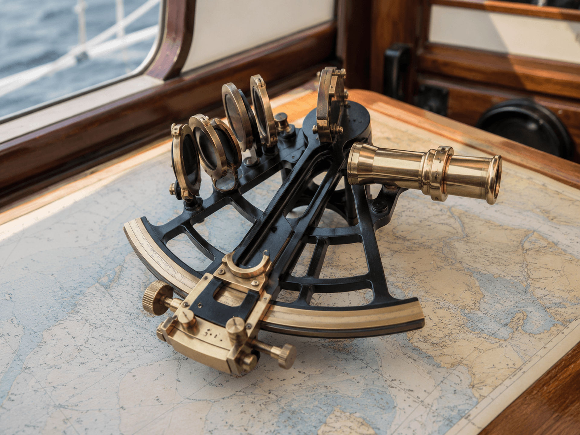
Learning how to use a sextant for celestial navigation helps sailors understand ocean navigation at a deeper level because it connects observation, time, chartwork, and math into one practical system.
Why Learn How to Use a Sextant at Sea?
Modern GPS is extremely useful, but it depends on electronics, satellites, power, and functioning equipment. A sextant provides a backup method that does not require batteries or satellite signals. For offshore sailors, bluewater cruisers, racing crews, and anyone interested in traditional seamanship, sextant navigation is a valuable skill.
Knowing how to use a sextant at sea can help you:
- Build confidence during offshore passages
- Understand the relationship between time, position, and the sky
- Create a backup navigation method if electronics fail
- Improve your overall seamanship and chart navigation skills
- Connect with one of the oldest and most respected traditions in sailing
Celestial navigation is not just about history. It is a practical skill that gives sailors another way to verify their position and stay aware of where they are on the water.
How a Sextant Helps Determine Your Ocean Position
A sextant does not directly tell you your latitude and longitude. Instead, it gives you an observed angle. That angle, combined with the exact time of the sight, allows you to compare your observation with the predicted position of the celestial body in the Nautical Almanac.
The result is a Line of Position, often called an LOP. This line represents a place on the earth where you could be located at that exact moment. By taking two or more sights, or by advancing a previous sight using dead reckoning, you can cross multiple LOPs and create an ocean position fix.
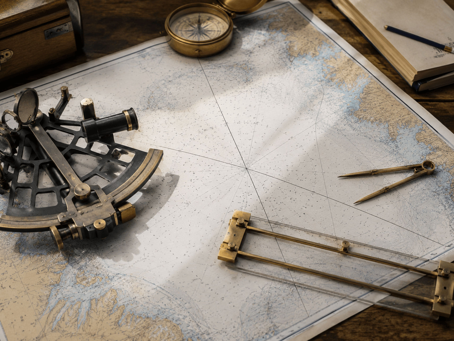
In simple terms:
- The sextant measures the angle.
- The chronometer records the exact time.
- The Nautical Almanac tells you where the celestial body was at that time.
- Sight Reduction Tables help convert the sight into a usable position line.
- Multiple position lines help you estimate your location at sea.
This is the foundation of celestial navigation.
Step 1: Prepare the Sextant Before Taking a Sight
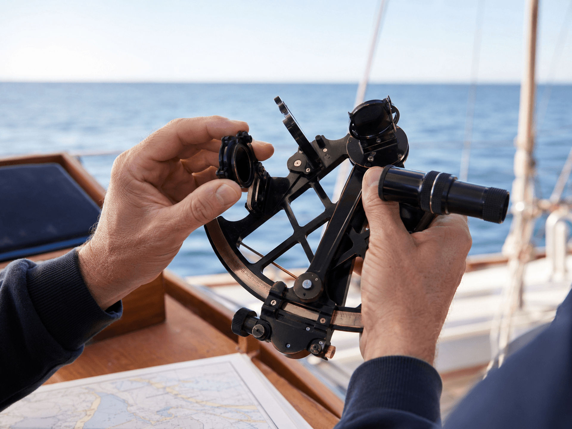
Before taking a measurement, you need to make sure the sextant is ready to use. A poorly adjusted sextant can create an inaccurate sight, which may affect your final position fix.
Check for Index Error
Start by checking for index error. Set the index arm to zero and point the sextant at the horizon. Through the telescope, the reflected horizon and the direct horizon should line up perfectly.
If the two horizons do not align, the sextant has a small index error. This does not mean the sextant is unusable. You simply need to record the difference and apply it later as a correction when calculating your sight.
Set the Shade Glasses
If you are shooting the sun, always use the sextant's shade glasses to protect your eyes. These dark filters reduce the intensity of the sun and make it safe to observe through the instrument. Never look directly at the sun through a sextant without the proper shades in place.
Confirm Your Time Source
Accurate time is essential. A few seconds of error can affect the accuracy of your position. Before taking sights, make sure you have a reliable chronometer, watch, or other accurate time source set to Coordinated Universal Time, often referred to as UTC.
Step 2: Find the Horizon
The visible horizon is your reference point. At sea, this is usually the clean line where the sky meets the water. A clear, sharp horizon makes taking a sextant sight much easier.
Hold the sextant firmly, usually in your right hand, and look through the telescope toward the horizon. Keep your body as steady as possible, but remember that the boat will move. This is one reason learning how to use a sextant at sea takes practice. You are not measuring from a stable platform; you are working with waves, wind, and motion.
For best results, try to take sights when:
- The horizon is clearly visible
- The boat's motion is manageable
- You have a stable stance
- The celestial body is not hidden by clouds
- You are ready to record the time immediately
Step 3: Bring the Celestial Body Down to the Horizon
Once you have found the horizon, unlock the sextant's index arm and slowly move it. As you swing the arm, the reflected image of the sun, moon, planet, or star will appear in the mirror.
Your goal is to bring the reflected celestial body down until it appears to rest on the horizon. For a sun sight, navigators commonly use the lower edge, or lower limb, of the sun. For stars and planets, you typically bring the point of light down to the horizon.
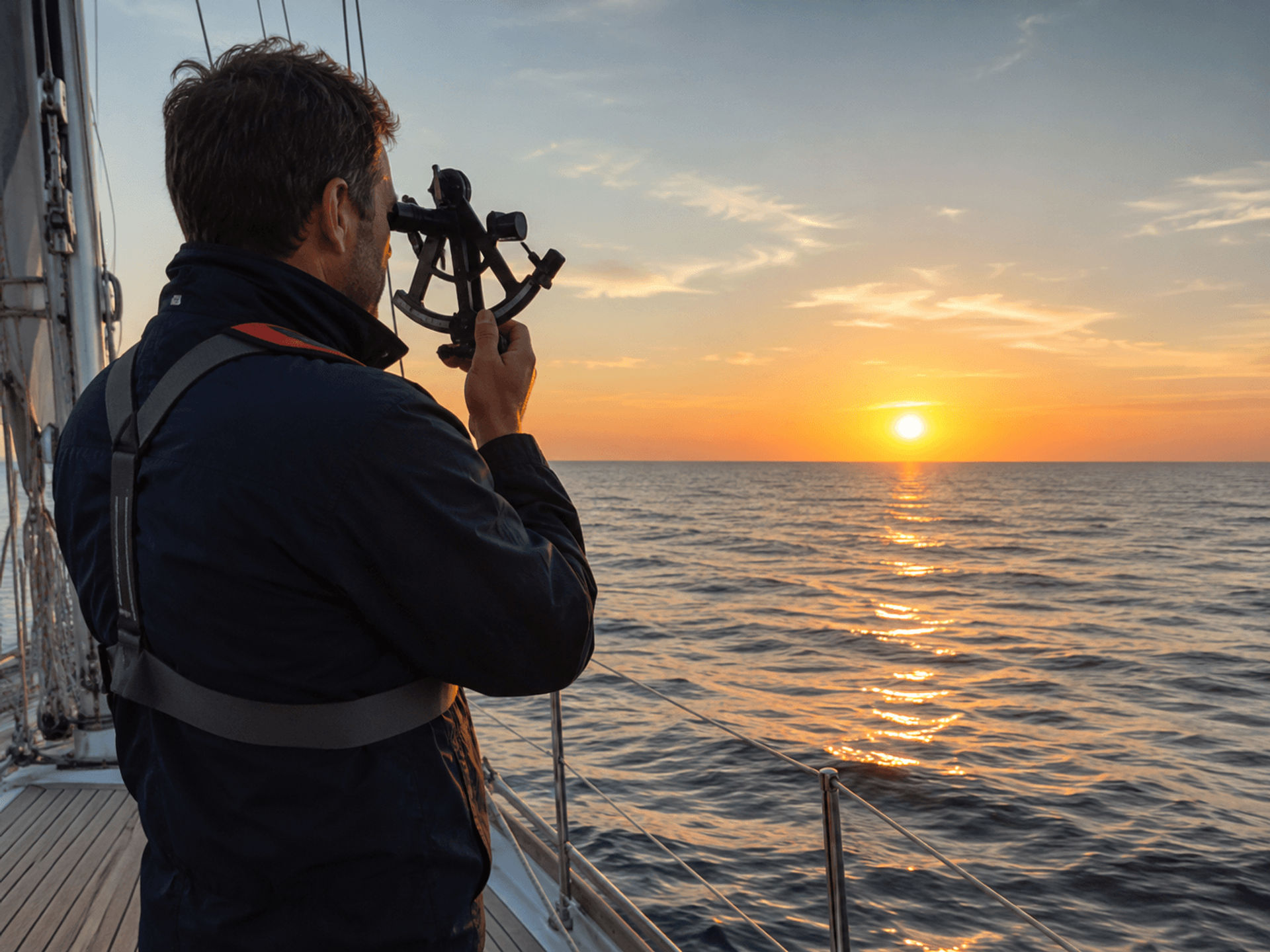
Move slowly and carefully. At first, it may be difficult to find the object in the sextant mirror, especially on a moving boat. With practice, you will learn how to locate it more quickly and guide it toward the horizon.
Step 4: Use the Sextant Rock for a More Accurate Sight
One of the most important techniques in learning how to use a sextant is the "sextant rock." Once the celestial body is close to the horizon, gently tilt the sextant from side to side.
As you rock the sextant, the object will appear to swing in a small arc. Adjust the micrometer drum until the lowest point of the arc just touches, or "kisses," the horizon. This helps ensure that the sextant is being held vertically and that the angle measurement is as accurate as possible.
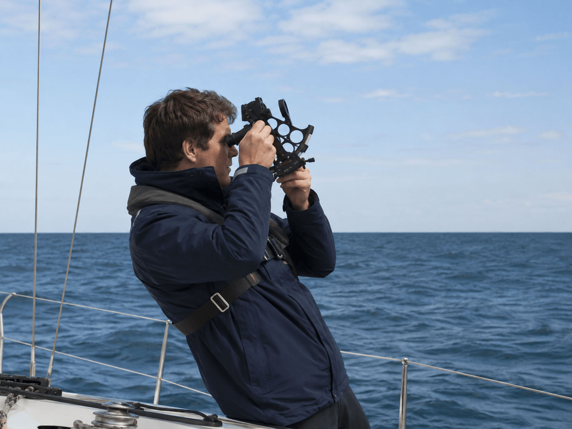
For a sun sight, the lower edge of the sun should just touch the horizon. For a star or planet, the point of light should appear to sit directly on the horizon line.
Step 5: Record the Exact Time Immediately
The moment the celestial body touches the horizon, record the exact time. This should be done immediately and as precisely as possible, ideally down to the second.
Many sailors work as a team when taking sights. One person handles the sextant, while another records the time and sight details. If you are working alone, practice a routine that allows you to take the sight and note the time quickly.
Your sight record should include:
- Date
- Exact time in UTC
- Celestial body observed
- Sextant angle
- Height of eye above sea level
- Index error
- Sea and horizon conditions
- Estimated position used for calculations
Good notes make the calculation process easier and help you identify mistakes later.
Step 6: Read the Sextant Angle
After taking the sight, read the sextant carefully. The main scale shows degrees, while the micrometer drum shows minutes and decimals of a minute. Together, these readings give you the observed altitude before corrections.
For example, your sextant reading might be something like 42° 18.6'. This is the raw angle measured by the sextant. Before it can be used for navigation, you need to apply several corrections.
Accuracy matters, so take your time when reading the scale. A small reading mistake can change the final Line of Position.
Step 7: Apply the Necessary Corrections
The raw sextant angle is not yet the final altitude used for navigation. Several corrections are needed to account for instrument error and natural conditions.
Common sextant sight corrections include:
- Index error: Adjusts for any misalignment found before the sight.
- Dip correction: Accounts for your height of eye above the water.
- Refraction: Corrects for the bending of light through the atmosphere.
- Semi-diameter: Used for sun or moon sights when measuring the upper or lower limb.
- Parallax: Especially important for moon sights.
These corrections turn the sextant altitude into a corrected altitude that can be compared with the calculated altitude from sight reduction tables.
Step 8: Use the Nautical Almanac and Sight Reduction Tables
After correcting the sight, the next step is calculation. The Nautical Almanac lists the predicted positions of the sun, moon, planets, and navigational stars for each day and time. Sight Reduction Tables help convert your observation into a Line of Position that can be plotted on a chart.
This is where celestial navigation becomes more than just using the sextant. The sextant gives you the observation, but the almanac and tables help you turn that observation into a usable navigation result.
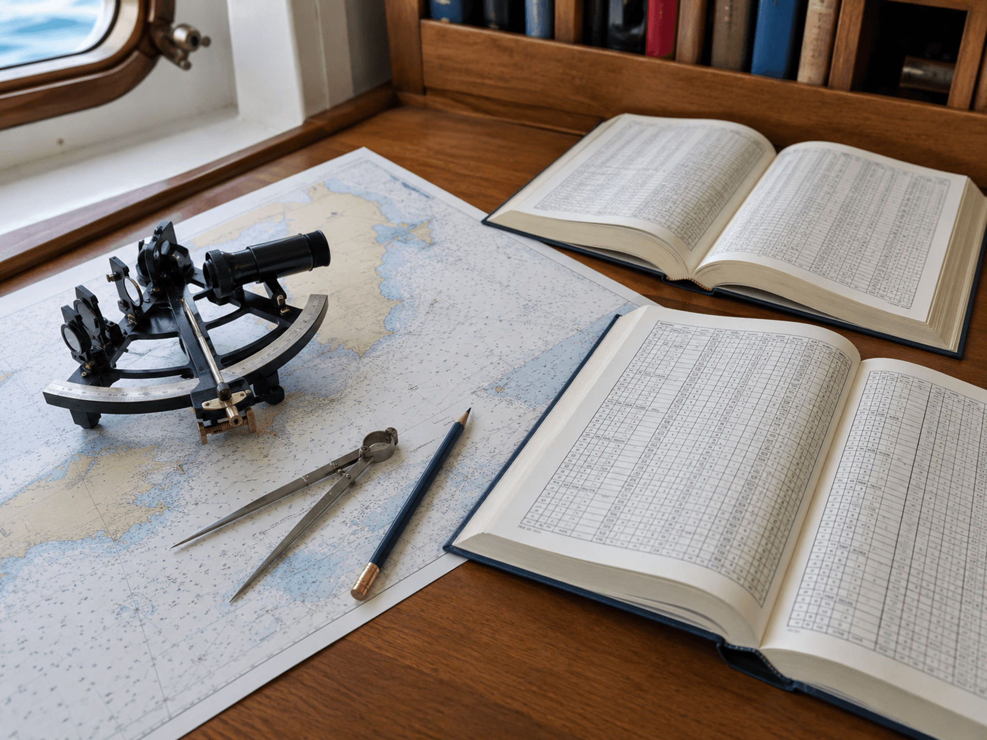
To complete the process, you will generally:
- Use the time of your sight to find the celestial body's position in the Nautical Almanac.
- Start with an assumed position near your estimated location.
- Use Sight Reduction Tables to calculate the expected altitude and azimuth.
- Compare the expected altitude with your corrected observed altitude.
- Plot the resulting Line of Position on your chart.
When you cross two or more LOPs, you can estimate your position at sea.
How to Use a Sextant for Celestial Navigation With the Sun
For beginners, the sun is often the easiest celestial body to practice with because it is bright and easy to find. A common exercise is taking a noon sight, which can help determine latitude when the sun reaches its highest point in the sky.
Sun sights are useful because they can be taken during the day, and the horizon is usually easier to see. However, it is important to use the shade glasses correctly and avoid looking directly at the sun without protection.
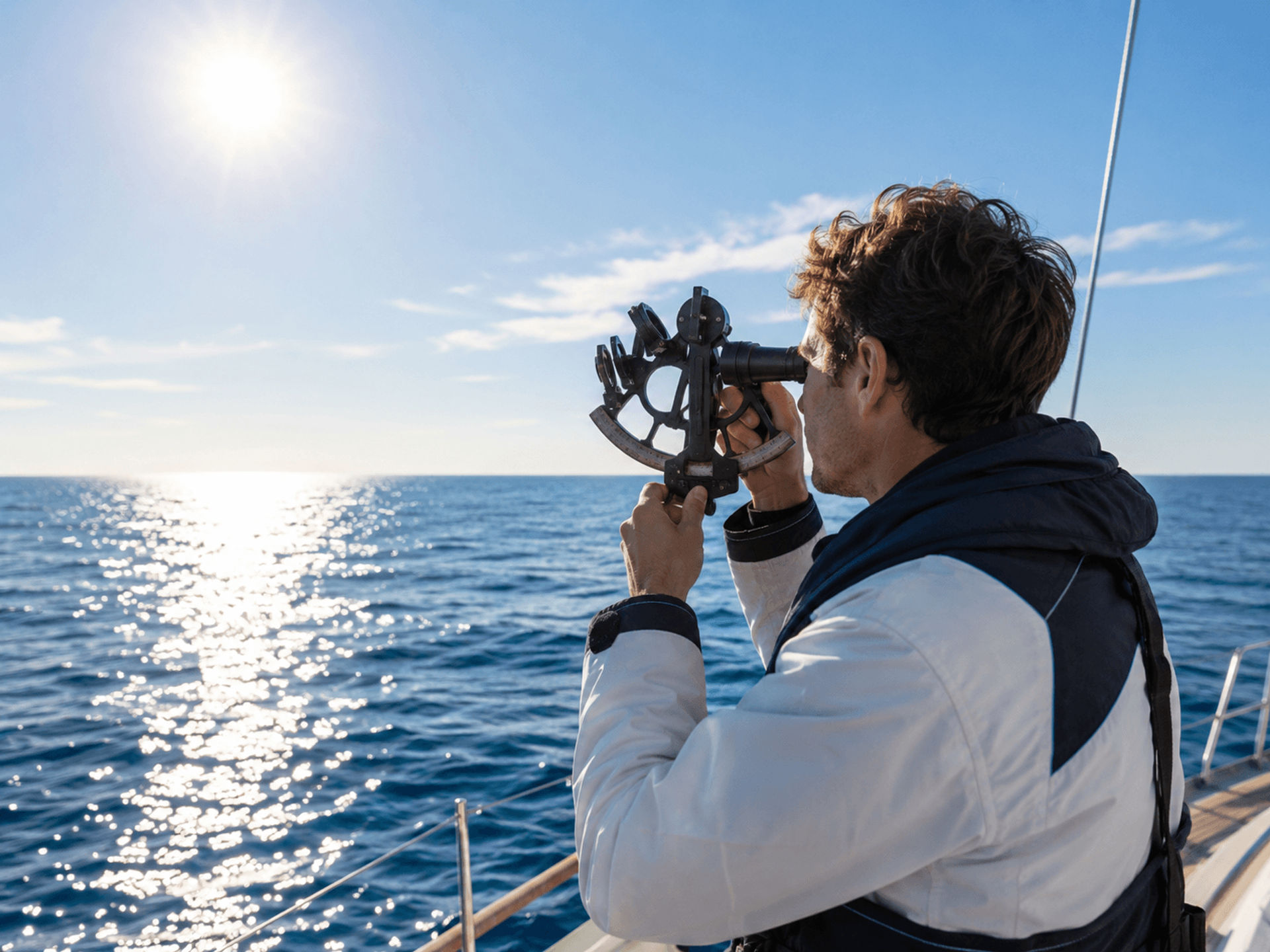
A basic sun sight involves bringing the lower limb of the sun down to the horizon, rocking the sextant, recording the time, reading the angle, applying corrections, and reducing the sight. Over time, this process becomes more natural.
How to Use a Sextant at Sea for Ocean Position Fixes
An ocean position fix requires more than one piece of information. A single sight gives you a Line of Position, but your actual location is somewhere along that line. To create a more reliable fix, you need multiple lines.
There are a few ways to create an ocean position fix with a sextant:
- Take sights of multiple celestial bodies during morning or evening twilight.
- Take a sun sight, advance the LOP using dead reckoning, and combine it with a later sight.
- Use star or planet sights when several bodies are visible near the horizon.
- Compare celestial fixes with your dead reckoning track to monitor accuracy.
Even if your first fixes are not perfect, they are valuable. Celestial navigation is a skill that improves with repetition. The more sights you take, the better you become at handling the sextant, judging the horizon, recording time, and spotting errors.
Common Beginner Mistakes When Using a Sextant
Learning how to use a sextant for celestial navigation takes patience. Most beginners make a few common mistakes early on, but these can be corrected with practice.
Common mistakes include:
- Forgetting to check index error
- Recording the time too late
- Misreading the sextant scale
- Using the wrong limb of the sun
- Forgetting height of eye correction
- Not rocking the sextant properly
- Plotting the Line of Position incorrectly
- Taking sights when the horizon is unclear
The best way to improve is to practice in controlled conditions before relying on sextant navigation offshore. Start with simple sun sights, compare your work against known positions, and gradually move into more advanced sights.
Practical Tips for Better Sextant Sights
Sextant work becomes easier when you develop a repeatable routine. The goal is to reduce distractions and make every sight consistent.
Helpful tips include:
- Practice on land before using the sextant at sea.
- Keep a dedicated sight log.
- Use a reliable time source.
- Take several sights and average the best ones.
- Keep the sextant clean and protected.
- Learn to identify major navigational stars.
- Practice plotting Lines of Position on paper charts.
- Review each sight to understand where errors may have occurred.
Celestial navigation rewards patience and consistency. Even experienced navigators continue refining their technique.
Learning Celestial Navigation With Naos Yachts in Marina del Rey
At Naos Yachts in Marina del Rey, we help sailors build confidence, knowledge, and real-world seamanship through professional sailing instruction. Our sailing school offers a wide range of American Sailing and American Boating certified classes designed for beginners, experienced sailors, and boaters who want to continue developing their skills on the water.
For sailors interested in navigation, our American Sailing 105 Coastal Navigation class and American Sailing 107 Celestial Navigation class are excellent opportunities to learn essential techniques in a structured, hands-on environment. ASA 105 introduces important coastal navigation concepts, chartwork, position plotting, and navigation planning, while ASA 107 builds on those skills by teaching students how to navigate using celestial bodies, sextant sights, sight reduction, and traditional offshore navigation methods.
Whether you want to learn how to use a sextant at sea, navigate by the stars, or become a more capable passage maker, Naos Yachts can help you take the next step.
Book a Sailing Class at Naos Yachts in Marina del Rey Today
Learning how to use a sextant is one of the most meaningful skills a sailor can develop. It teaches you to observe the sky, understand your position, and navigate with tools that have guided mariners across oceans for centuries. While the process involves practice, patience, and calculation, the basic concept is simple: measure the angle, record the time, apply corrections, and plot your position.
If you are ready to learn how to use a sextant for celestial navigation with professional instruction, contact Naos Yachts in Marina del Rey or book a class directly online. Our team can help you explore American Sailing and American Boating certified courses, including American Sailing 105 Coastal Navigation and American Sailing 107 Celestial Navigation, so you can build your skills, navigate with confidence, and experience sailing at a deeper level.
FAQs
Is it hard to learn how to use a sextant?
Learning how to use a sextant takes practice, but the basic process is easy to understand. Beginners start by learning how to measure the angle of the sun or a star, record the exact time, apply corrections, and use navigation tables to calculate a position.
How do you use a sextant at sea?
To use a sextant at sea, you look through the instrument, find the horizon, and bring the reflected image of the sun, star, moon, or planet down until it touches the horizon. You then record the exact time, read the sextant angle, apply corrections, and use celestial navigation tables to plot a position line.
What celestial bodies can you use with a sextant?
Sailors commonly use the sun, moon, planets, and selected navigational stars with a sextant. The sun is often the easiest body for beginners because it is bright, easy to find, and can be used during the day.
What class should I take to learn sextant navigation?
A good learning path is to start with American Sailing 105 Coastal Navigation and then continue into American Sailing 107 Celestial Navigation. At Naos Yachts in Marina del Rey, these courses help sailors build a strong foundation in chart navigation, position fixing, sextant use, and traditional offshore navigation skills.