Understanding Knots and Nautical Miles: A Beginner’s Guide to Boating Measurements
Whether you’re planning your first sailing trip or learning the fundamentals of marine navigation, understanding knots and nautical miles is an essential part of becoming a confident boater. Unlike driving a car, where speed is measured in miles per hour and distance is calculated in standard miles, boating relies on specialized measurements designed for navigation across open water. These measurements help sailors determine their speed, calculate travel distances, estimate arrival times, and navigate safely between destinations.
Although the terminology may seem confusing at first, nautical miles and knots are relatively straightforward once you understand how they work together. In this beginner’s guide, we’ll explain what each measurement means, how they differ from standard miles and miles per hour, and why they’re important for safe and efficient boating.
What Are Knots in Boating?
A knot is a unit of speed used in boating, sailing, and maritime navigation. Specifically, one knot equals one nautical mile traveled per hour. Rather than measuring speed in miles per hour (mph), sailors use knots to communicate how quickly a vessel moves through the water or over the ground.
For example, if a sailboat travels at a consistent speed of 6 knots, it will cover approximately 6 nautical miles in one hour. Similarly, a powerboat traveling at 20 knots will cover 20 nautical miles during that same period, assuming its speed remains constant.
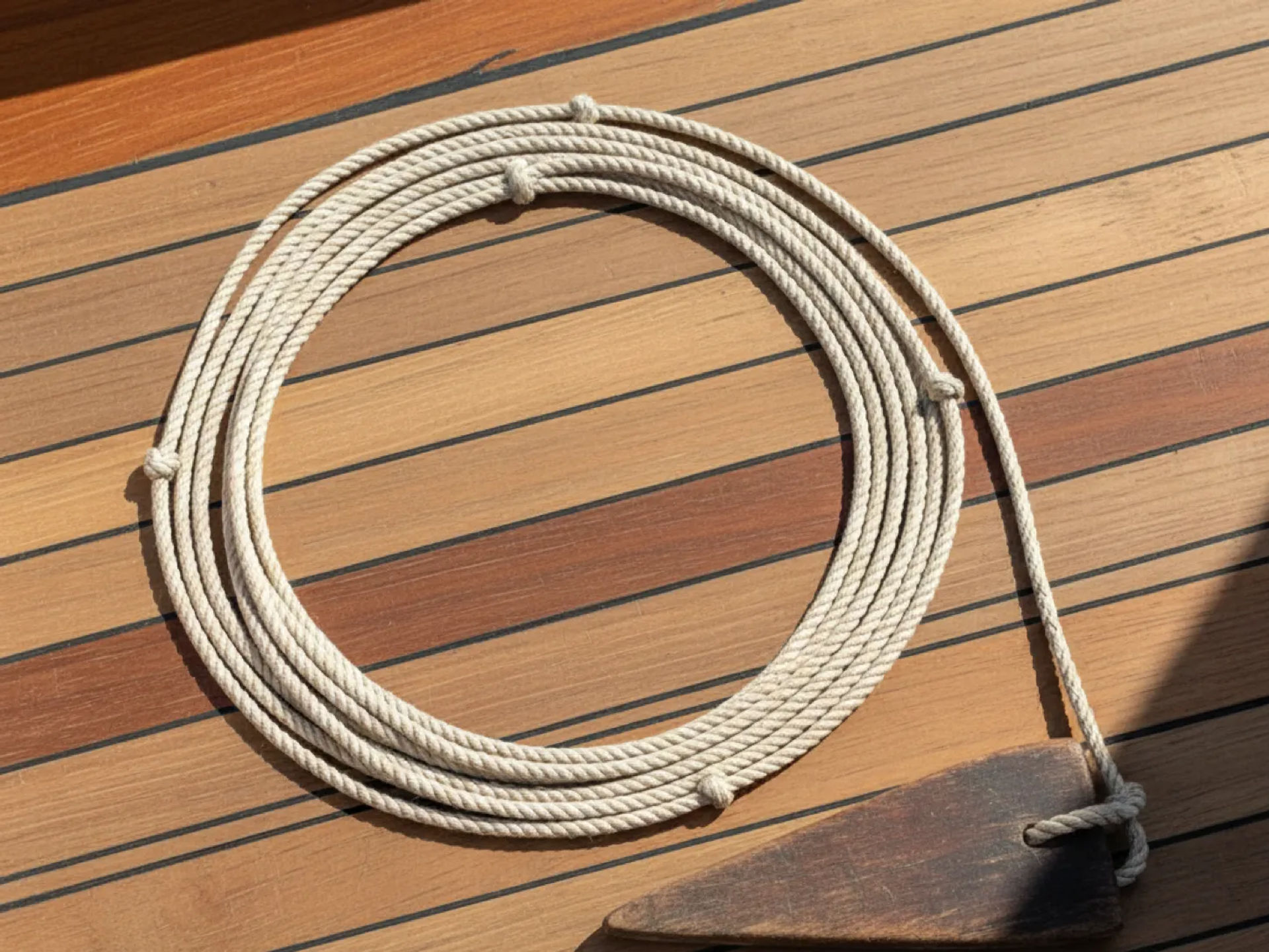
The term "knot" originated from traditional maritime navigation methods. Before modern electronic instruments, sailors measured vessel speed using a device called a chip log. This instrument consisted of a wooden board attached to a rope with knots tied at regular intervals. As the board was released behind a moving vessel, sailors counted the knots passing through their hands during a measured period to estimate the boat’s speed.
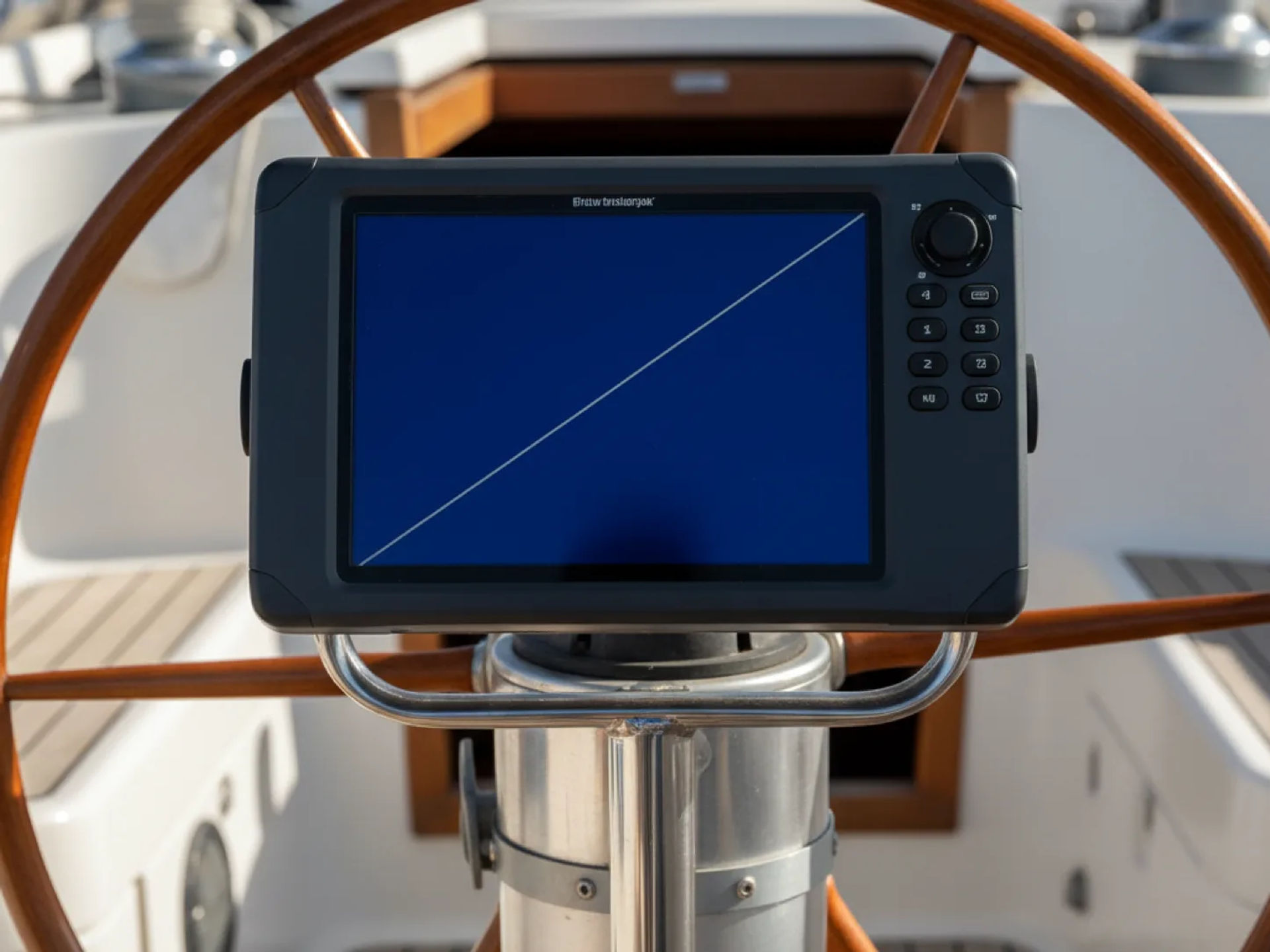
Today, modern boats use GPS systems, electronic navigation instruments, and speed sensors to provide much more accurate speed measurements. However, the traditional unit of knots remains the international standard for expressing marine speed.
How Fast Is One Knot?
One knot is equivalent to approximately:
- 1.151 miles per hour (mph)
- 1.852 kilometers per hour (km/h)
- 0.514 meters per second (m/s)
For perspective, a recreational sailboat traveling at 5 knots moves at approximately 5.75 mph. While this may seem relatively slow compared to driving, maintaining that speed across open water can allow a vessel to cover considerable distances over several hours.
What Is a Nautical Mile?
A nautical mile is a unit of distance used primarily in maritime and aviation navigation. Unlike the standard mile used for measuring distances on land, a nautical mile is based on the Earth’s geographic coordinates.
One nautical mile equals exactly 1,852 meters, or approximately 1.151 standard miles. It is historically associated with one minute of latitude, making it particularly useful when calculating distances on nautical charts.
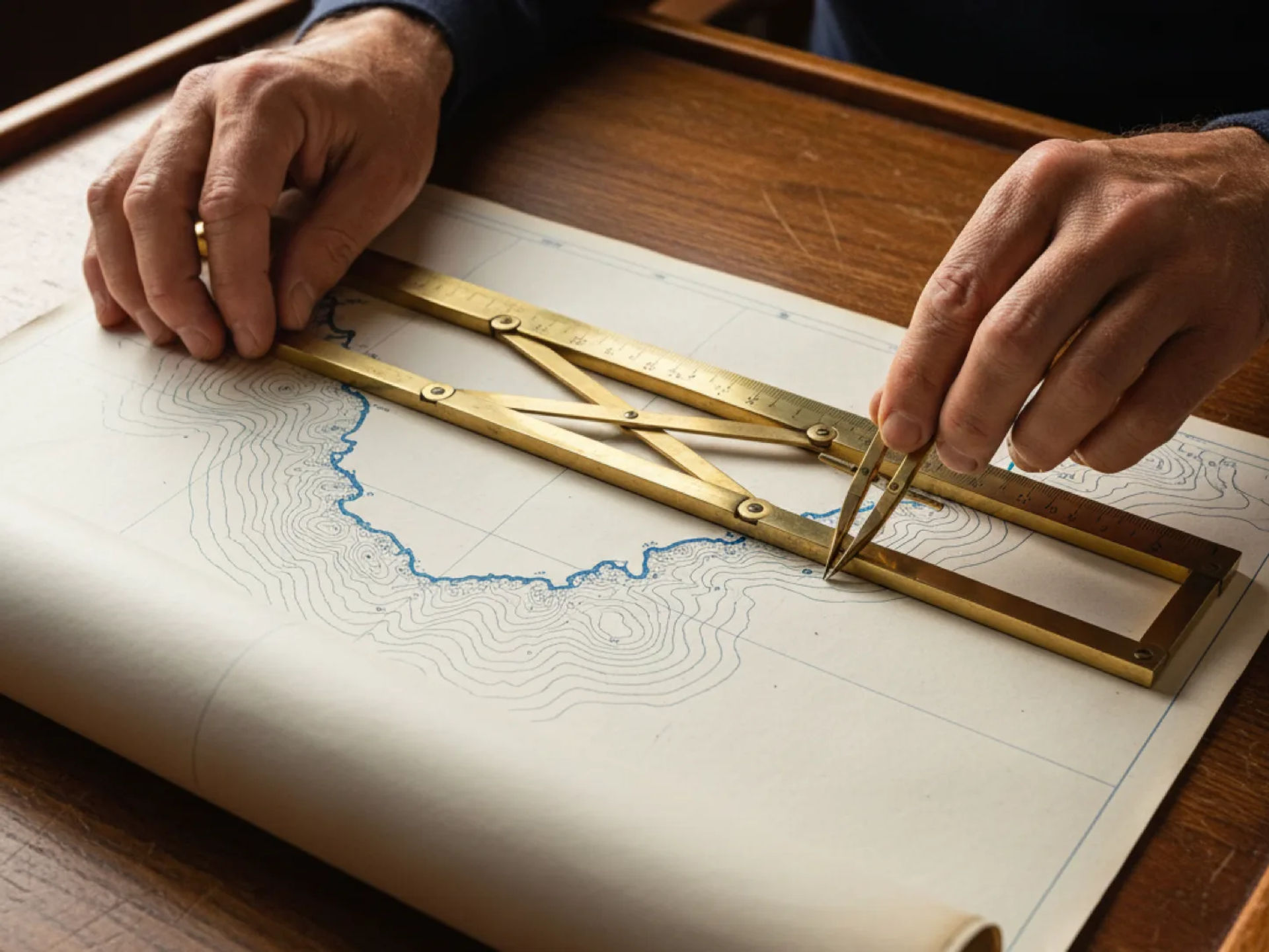
Because the Earth is divided into degrees of latitude and longitude, nautical miles provide a practical connection between geographic coordinates and navigational distances. One degree of latitude represents approximately 60 nautical miles, allowing navigators to estimate distances using the latitude scale on a chart.
For example, a sailing route measuring 15 nautical miles represents approximately 17.26 standard miles. Understanding this distinction is important because confusing nautical miles with regular miles can lead to inaccurate travel calculations.
Why Do Boats Use Nautical Miles Instead of Regular Miles?
Nautical miles are particularly useful because they align with the geographic coordinate system used for navigation.
When plotting a sailing route, navigators work with latitude, longitude, bearings, and charted distances. Nautical miles allow these measurements to be expressed in units that relate naturally to the Earth’s surface and marine navigation systems.
There are several reasons nautical miles are preferred in boating:
- Accurate navigation: Nautical miles work with latitude and longitude coordinates to support route planning.
- Consistent chart measurements: Nautical charts use nautical miles as a standard distance measurement.
- International standardization: Sailors, commercial vessels, and maritime authorities use common measurements worldwide.
- Travel planning: Nautical miles make it easier to calculate journey distances and estimated travel times.
- Communication: Standardized distance measurements help boaters communicate positions, routes, and navigation information.
Understanding nautical miles is especially valuable for sailors planning coastal passages, traveling between harbors, or navigating unfamiliar waters.
Knots vs. Nautical Miles: What’s the Difference?
Although knots and nautical miles are closely related, they measure two different things. Nautical miles measure distance, while knots measure speed.
The relationship is similar to the difference between miles and miles per hour when driving. Miles tell you how far you’ve traveled, while miles per hour tell you how quickly you’re moving.
The following table highlights the key differences between knots and nautical miles.
| Measurement | Knots | Nautical Miles | |---|---|---| | What it measures | Speed | Distance | | Primary purpose | Measuring how fast a vessel is traveling | Measuring how far a vessel travels | | Standard abbreviation | kn or kt | NM or nmi | | Equivalent measurement | 1 nautical mile per hour | 1.151 standard miles | | Common applications | Vessel speed, wind speed, and marine navigation | Route planning, chart plotting, and travel distances | | Example | A sailboat traveling at 7 knots | A sailing destination 14 nautical miles away |
The most important distinction is that knots represent a rate of travel, while nautical miles represent the distance traveled. Understanding how these measurements work together makes it easier to calculate travel times and navigate safely.
How to Convert Knots and Nautical Miles
Converting knots and nautical miles into familiar measurements is relatively straightforward. A few simple formulas can help you better understand a vessel’s speed and the distance between destinations.
Converting Knots to Miles Per Hour
To convert knots into miles per hour, multiply the speed in knots by 1.151.
Formula: Knots × 1.151 = Miles Per Hour
For example:
- 5 knots = approximately 5.75 mph
- 10 knots = approximately 11.51 mph
- 15 knots = approximately 17.27 mph
- 20 knots = approximately 23.02 mph
This calculation is particularly helpful when comparing boating speeds to familiar land-based measurements.
Converting Nautical Miles to Standard Miles
To convert nautical miles into standard miles, multiply the distance in nautical miles by 1.151.
Formula: Nautical Miles × 1.151 = Standard Miles
For example:
- 5 nautical miles = approximately 5.75 miles
- 10 nautical miles = approximately 11.51 miles
- 25 nautical miles = approximately 28.77 miles
- 50 nautical miles = approximately 57.54 miles
For the reverse conversion, divide standard miles by approximately 1.151 to calculate nautical miles.
Calculating Travel Time Using Knots and Nautical Miles
One of the most useful applications of these measurements is estimating how long a boating trip will take.
Formula: Distance (Nautical Miles) ÷ Speed (Knots) = Travel Time (Hours)
Imagine you’re planning a sailing trip covering 24 nautical miles. If your vessel maintains an average speed of 6 knots, you can estimate the travel time as follows:
24 nautical miles ÷ 6 knots = 4 hours
This means your journey would take approximately four hours under consistent conditions.
However, actual travel times may vary depending on wind conditions, currents, weather, vessel performance, and navigational obstacles. For this reason, boaters should consider these calculations planning estimates rather than guaranteed arrival times.
Why Are Nautical Miles and Knots Important for Safe Navigation?
Understanding knots and nautical miles involves much more than learning boating terminology. These measurements play an important role in navigating safely, managing onboard resources, and making informed decisions while underway.
1. Planning Safe and Efficient Sailing Routes
Before departing, sailors must determine the distance between their starting point and destination. Nautical miles provide a standardized way to measure these distances using charts and electronic navigation equipment.
By combining the route distance with an estimated average speed in knots, boaters can establish realistic travel schedules and identify potential stopping points.
Accurate route planning is particularly important when navigating unfamiliar coastlines, entering harbors, or planning longer offshore passages.
2. Estimating Arrival Times
Knowing your vessel’s speed in knots allows you to calculate an estimated time of arrival (ETA).
For example, if your destination is 18 nautical miles away and your boat is traveling at 6 knots, your estimated travel time is three hours.
However, sailors should continuously update their estimated arrival times because changing wind conditions, currents, and vessel speed can affect their progress.
This becomes especially important when approaching a harbor after sunset or navigating areas with restricted operating hours.
3. Understanding Wind Speed and Weather Conditions
Knots are also used to measure wind speed in marine weather forecasts.
For example, a forecast predicting sustained winds of 15 knots indicates wind speeds of approximately 17.3 mph. While these conditions may be manageable for an experienced sailor operating a suitable vessel, stronger winds can create increasingly challenging conditions depending on sea state, vessel characteristics, and crew experience.
Understanding wind speeds in knots helps sailors evaluate weather forecasts and determine whether conditions are appropriate for their planned activities.
Wind speed also affects sail selection, boat handling, and the decision to reef or reduce sail area.
4. Accounting for Ocean Currents and Tides
Ocean currents can significantly influence a vessel’s actual speed and travel time.
When a current flows in the same direction as a boat, it can increase the vessel’s speed over ground. Conversely, traveling against a current can reduce progress toward a destination even when the vessel maintains the same speed through the water.
Understanding these differences is essential for planning routes, maintaining schedules, and navigating safely.
5. Improving Communication and Situational Awareness
Standardized measurements allow sailors to communicate important navigation information clearly.
Whether discussing vessel speed, reporting distances, interpreting marine forecasts, or coordinating with nearby boats, knots and nautical miles provide a shared language that reduces confusion.
Clear communication is especially valuable when operating in busy waterways, navigating at night, or responding to unexpected situations.
Speed Over Ground vs. Speed Through Water
As you become more familiar with nautical miles and knots, you’ll encounter two important navigation terms: speed over ground (SOG) and speed through water (STW).
Although both measurements are expressed in knots, they describe different aspects of a vessel’s movement.
Speed over ground (SOG) measures how quickly a vessel moves relative to the Earth’s surface. This is typically calculated using GPS and accounts for the influence of currents.
Speed through water (STW) measures how quickly a vessel travels relative to the surrounding water. This measurement is commonly obtained through onboard speed sensors.
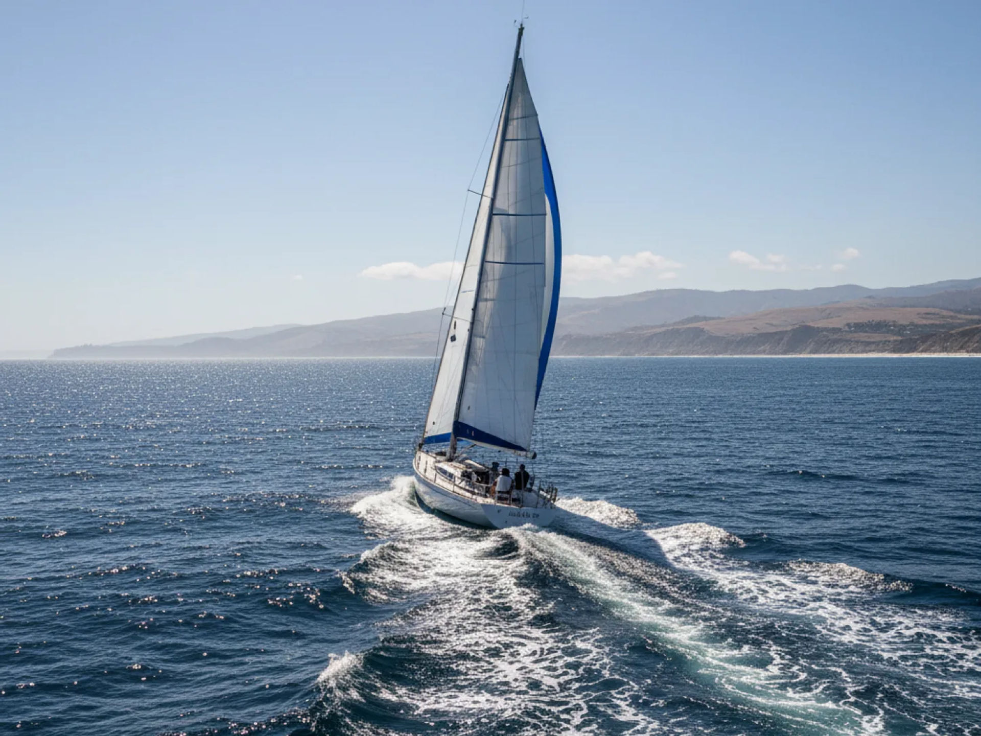
For example, imagine a sailboat traveling at 6 knots through the water while experiencing a favorable current of 2 knots directly along its course. Its speed over ground would be approximately 8 knots.
If the same vessel encounters a 2-knot opposing current, its speed over ground would decrease to approximately 4 knots.
Understanding the difference between these measurements is especially important when calculating travel times, monitoring navigational progress, and adjusting routes based on tidal currents.
Learn Practical Navigation Skills at Naos Yachts in Marina del Rey
At Naos Yachts, we believe that understanding essential boating concepts is the foundation of becoming a skilled and confident sailor. Located in Marina del Rey, California, we offer a comprehensive sailing school featuring a wide range of American Sailing and American Boating certified classes designed for students at different experience levels. Whether you’re learning basic sailing fundamentals or preparing for more challenging coastal passages, our experienced instructors help students develop the practical knowledge and seamanship skills needed to navigate safely and confidently.
For sailors looking to advance their understanding of knots and nautical miles, marine navigation, and offshore sailing techniques, we offer several specialized educational opportunities:
- ASA 105 – Coastal Navigation: Develop essential navigation skills, including reading nautical charts, plotting courses, interpreting bearings, determining vessel positions, and accounting for tides and currents. This course is particularly valuable for sailors who want to improve their route-planning abilities and understand how navigational measurements apply to real-world sailing.
- ASA 106 – Advanced Coastal Cruising: Build advanced seamanship skills for more demanding sailing conditions. Our ASA 105 and ASA 106 sailing courses provide instruction covering topics such as heavy-weather sailing, sail changes, specialized anchoring techniques, stability, equipment troubleshooting, towing procedures, and nighttime man-overboard drills. Our combined three-day class is designed for sailors with the required ASA 101, ASA 103, and ASA 104 prerequisites.
- ASA 119 – Marine Weather Endorsement: Expand your understanding of marine weather systems, forecasts, and environmental conditions that influence safe navigation. This training helps sailors interpret weather information and make better decisions when planning trips.
- ASA 120 – Radar Endorsement: Learn important radar concepts and techniques that support navigation, situational awareness, and collision avoidance, particularly when operating in reduced visibility or challenging conditions.
These courses help sailors go beyond understanding measurements and develop the practical skills needed to apply nautical miles and knots in real navigation scenarios. Explore our full range of sailing lessons and certification courses to find the training opportunity that best matches your experience and boating goals.
Become a More Confident Sailor With Naos Yachts
Understanding knots and nautical miles is an important first step toward mastering marine navigation. By learning how speed and distance measurements work together, sailors can plan more accurate routes, estimate travel times, interpret weather forecasts, and make informed decisions while navigating coastal and open waters.
At Naos Yachts, we’re committed to helping boating enthusiasts turn foundational knowledge into practical sailing confidence. Whether you’re just beginning your sailing journey or pursuing advanced certifications such as ASA 105, ASA 106, ASA 119, or ASA 120, our sailing school in Marina del Rey offers professional instruction to help you continue developing your skills.
Ready to take your sailing knowledge to the next level? Contact Naos Yachts to learn more about our sailing school, or book a sailing class directly online to start building the navigation skills and experience needed for your next adventure on the water.
FAQs
How many miles per hour is one knot?
One knot is equivalent to approximately 1.151 miles per hour. For example, a boat traveling at 10 knots is moving at approximately 11.51 mph.
How many regular miles are in a nautical mile?
One nautical mile equals approximately 1.151 standard miles or exactly 1,852 meters. Nautical miles are slightly longer than regular miles because they are based on geographic measurements used for navigation.
Why do boats use knots instead of miles per hour?
Boats use knots because this unit of speed corresponds directly to nautical miles, which are used for maritime navigation and chart plotting. Using knots allows sailors to calculate travel times, estimate distances, and communicate speeds consistently.
Why are nautical miles used in sailing?
Nautical miles are used in sailing because they relate to the Earth’s latitude and longitude coordinate system. This makes them useful for measuring distances on nautical charts, plotting sailing routes, and estimating travel times between destinations.