How to Calculate Your Position Using Navigation by Dead Reckoning
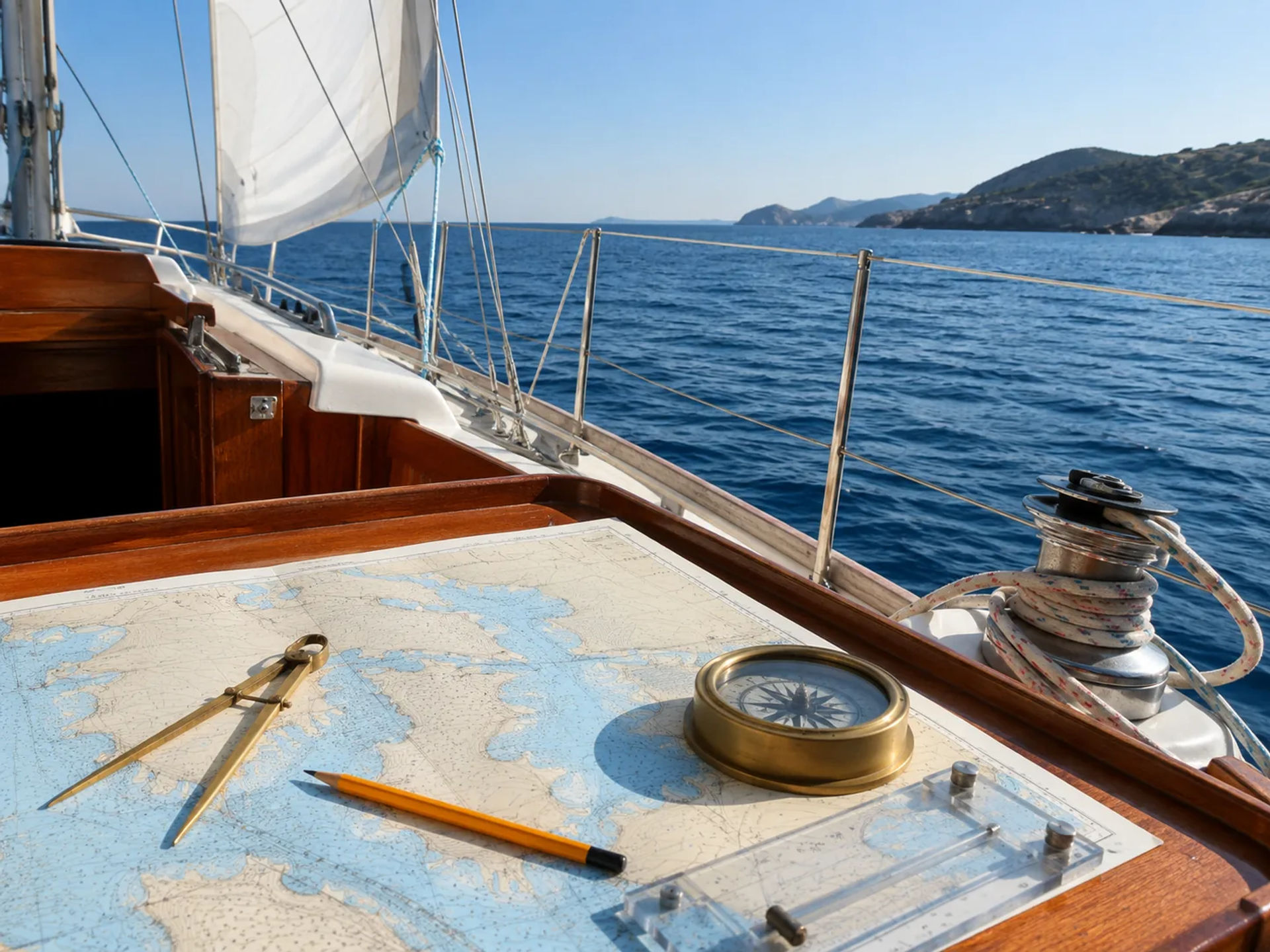
Navigation by dead reckoning is a traditional method that allows sailors to estimate their current position using a previously confirmed location, the vessel’s course, speed, and elapsed travel time. Although modern chartplotters and GPS systems have made navigation more convenient, dead reckoning remains a valuable skill for verifying electronic information and maintaining situational awareness. By learning this practical marine navigation technique, beginning sailors can make better decisions, identify potential hazards, and navigate coastal waters more safely.
What Is Navigation by Dead Reckoning?
Navigation by dead reckoning is the process of calculating a vessel’s estimated position based on its last known position and its subsequent movement. A navigator begins with a confirmed location, then plots the vessel’s direction and estimated distance traveled over a specific period.
The resulting location is called a dead reckoning position, commonly abbreviated as a DR position. It represents where the vessel should be if it has maintained the planned course and speed without being affected by outside forces.
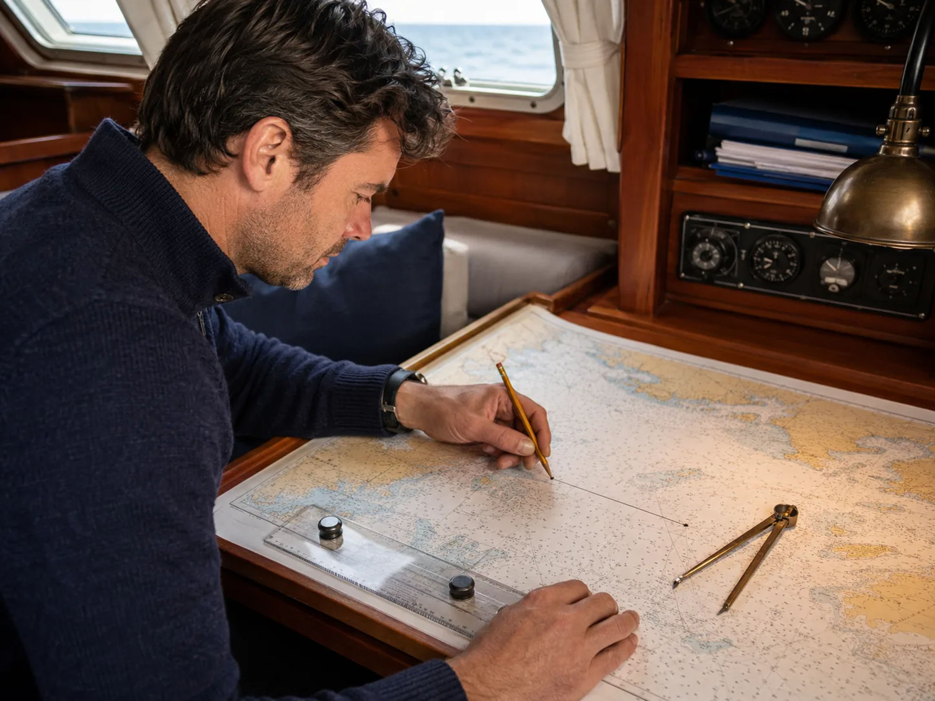
A basic dead reckoning calculation uses four primary pieces of information:
- A confirmed starting position
- The vessel’s course
- The vessel’s speed
- The amount of time traveled
Dead reckoning in sailing does not automatically account for wind, waves, current, steering errors, or changes in speed. These factors must be evaluated separately when refining the estimated position.
Why Dead Reckoning Still Matters in Modern Sailing
GPS receivers and multifunction chartplotters can provide highly accurate location information, but responsible navigators should not rely on a single electronic system. Batteries can fail, antennas can become damaged, screens can malfunction, and incorrect settings can cause misleading information.
Navigation by dead reckoning provides an independent way to evaluate whether an electronic position makes sense. It also encourages sailors to remain engaged with their surroundings rather than simply following a line on a screen.
This marine navigation technique can help sailors:
- Maintain awareness of their general position
- Anticipate when landmarks or navigation aids should appear
- Estimate arrival times
- Identify unexpected changes in speed or direction
- Confirm information displayed by electronic navigation equipment
- Continue navigating during an electrical or equipment failure
- Avoid shallow water, rocks, restricted areas, and other hazards
Dead reckoning is especially useful during coastal passages, nighttime sailing, reduced visibility, and situations where landmarks are difficult to identify.
Important Dead Reckoning Terms for Beginners
Before beginning a calculation, it helps to understand several basic navigation terms.
Known Position
A known position is a location that has been confirmed with reasonable accuracy. It may be established through GPS, visual bearings, radar ranges, celestial observations, or another dependable navigation method.
Course
Course is the intended direction of travel, usually measured in degrees clockwise from true or magnetic north. For example, a course of 090 degrees points east, while a course of 180 degrees points south.
Speed
Boat speed is typically expressed in knots. One knot equals one nautical mile per hour.
Distance
In marine navigation, distance is usually measured in nautical miles. A nautical mile is based on the geometry of the Earth and corresponds to one minute of latitude.
DR Position
A DR position is the location calculated from a known starting point using course, speed, and elapsed time. It assumes that the vessel has traveled exactly as estimated.
Estimated Position
An estimated position, or EP, is a refined location that considers additional information such as current, wind, leeway, depth readings, or visual observations. A DR position and an estimated position are related, but they are not necessarily identical.
The Basic Formula for Dead Reckoning in Sailing
The central calculation used in dead reckoning is:
Distance = Speed × Time
Because speed is measured in knots and one knot equals one nautical mile per hour, a vessel traveling at 6 knots for one hour will cover approximately 6 nautical miles.
Time must be expressed as a portion of an hour when the trip lasts less than 60 minutes. For example:
- 15 minutes = 0.25 hour
- 30 minutes = 0.5 hour
- 45 minutes = 0.75 hour
- 90 minutes = 1.5 hours
A sailor can also rearrange the formula:
Speed = Distance ÷ Time
Time = Distance ÷ Speed
These formulas help navigators calculate distance traveled, estimate arrival time, or determine the speed required to reach a destination within a certain period.
How to Calculate Your Position Using Navigation by Dead Reckoning
Calculating a DR position involves more than completing a mathematical equation. The result must also be plotted accurately on a nautical chart.
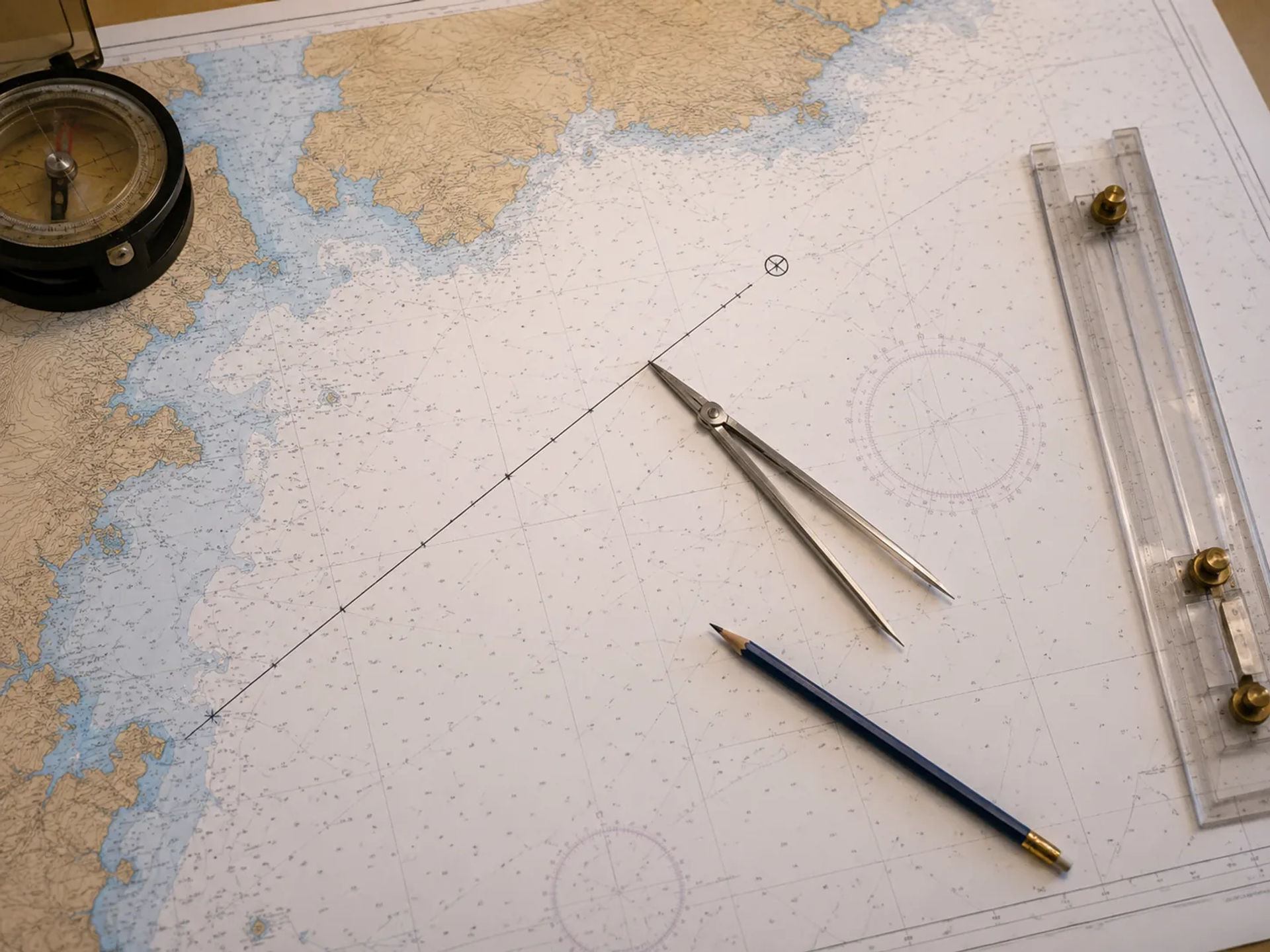
Step 1: Establish a Reliable Starting Position
Begin with the most dependable position available. This may be a GPS location, a charted buoy, a harbor entrance, an intersection of visual bearings, or another recognizable point.
Plot the location clearly on the chart and record the exact time. The accuracy of every later calculation depends on the quality of this starting position.
A standard position label often includes:
- The time
- The type of position
- Relevant navigation notes
Dead reckoning positions are commonly marked with a small semicircle or another symbol taught in formal navigation courses. Consistent chart notation makes the vessel’s track easier to review.
Step 2: Determine the Vessel’s Course
Record the direction in which the boat is traveling. Confirm whether the course is expressed as true, magnetic, or compass direction.
The course used on the chart must match the chart’s reference system. If the boat’s compass heading is being used, the navigator may need to account for magnetic variation and compass deviation before plotting the course line.
Draw the course line from the known starting position using parallel rulers, a rolling plotter, or another charting tool. Extend the line far enough to cover the distance the boat is expected to travel.
Step 3: Determine the Vessel’s Speed
Record the vessel’s speed in knots. Speed may be obtained from a knotmeter, GPS, engine settings, previous performance observations, or a time-and-distance calculation.
Use a realistic average speed rather than the highest speed observed during the passage. Sailing speed often changes because of wind shifts, sail trim, wave conditions, and steering variations.
For better accuracy, update the speed whenever conditions change significantly.
Step 4: Calculate the Elapsed Time
Determine how long the boat has traveled since the last confirmed position or previous DR plot.
For example, suppose a boat departed a known position at 10:00 a.m., and the navigator wants to calculate its position at 10:40 a.m. The elapsed time is 40 minutes.
Convert 40 minutes into hours:
40 ÷ 60 = 0.67 hour
Step 5: Calculate the Distance Traveled
Multiply the vessel’s speed by the elapsed time.
For a boat traveling at 6 knots for 40 minutes:
Distance = 6 × 0.67
Distance = approximately 4 nautical miles
The boat should therefore be approximately 4 nautical miles along its plotted course line.
Step 6: Measure the Distance on the Nautical Chart
Use dividers to measure the calculated distance from the chart’s latitude scale. Measure nautical miles along the latitude scale on either side of the chart, preferably near the latitude of the plotted route.
Do not measure nautical miles from the longitude scale. The physical distance represented by a degree of longitude changes depending on latitude.
Set the dividers to the calculated distance and walk that measurement along the course line from the known starting point.
Step 7: Mark and Label the DR Position
Mark the calculated location on the course line. Label it with the time of the calculation.
For example, the position could be labeled:
DR 1040
Continue plotting new DR positions at regular intervals. Frequent updates make it easier to recognize discrepancies between the calculated route and the vessel’s actual movement.
A Simple Dead Reckoning Example
Imagine a sailboat leaves a confirmed position near a coastal harbor at 1:00 p.m. The vessel steers a course of 240 degrees at an average speed of 5 knots. At 2:30 p.m., the navigator wants to calculate the boat’s DR position.
First, determine the elapsed time:
2:30 p.m. – 1:00 p.m. = 1.5 hours
Next, calculate the distance traveled:
Distance = 5 knots × 1.5 hours
Distance = 7.5 nautical miles
The navigator would then:
- Draw a course line of 240 degrees from the starting position.
- Measure 7.5 nautical miles using the chart’s latitude scale.
- Transfer that distance onto the course line.
- Mark the calculated location as the 2:30 p.m. DR position.
This position shows where the boat should be based on its course, speed, and travel time.
How Often Should You Plot a Dead Reckoning Position?
The appropriate plotting interval depends on the navigation environment. In open water with few nearby hazards, positions may be plotted every hour. In coastal waters, narrow channels, reduced visibility, or areas with strong currents, positions should be updated more frequently.
A new DR position should also be plotted whenever there is a meaningful change in:
- Course
- Speed
- Wind conditions
- Current
- Visibility
- Sail configuration
- Engine operation
- Navigation plans
Frequent plotting creates a clear record of the boat’s expected movement and gives the navigator more opportunities to identify an error before it becomes dangerous.
The Difference Between a DR Position and an Estimated Position
A dead reckoning position is based only on the boat’s known starting point, course, speed, and time. It does not include the effects of current, wind, or leeway.
An estimated position uses the DR position as a starting point but adjusts it using additional observations or known environmental forces. These may include:
- Set and drift of the current
- Wind-driven leeway
- Depth soundings
- Visual bearings
- Radar ranges
- Proximity to charted landmarks
- Observed navigation aids
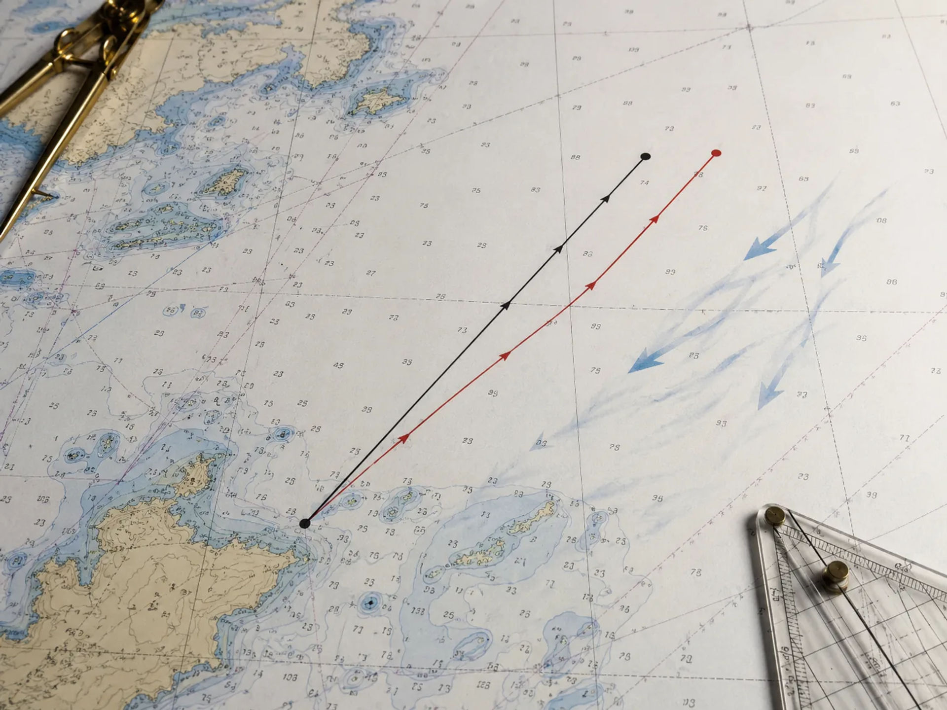
For example, if a boat’s DR position places it on one side of a channel but a depth sounding indicates significantly shallower water than expected, the navigator may adjust the estimated position based on the charted depth contours.
How Wind Affects Dead Reckoning Accuracy
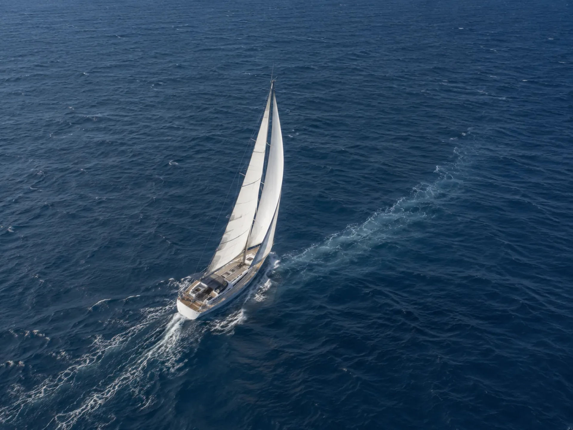
Wind can move a sailboat sideways as well as forward. This sideways movement is known as leeway. It is especially noticeable when sailing close-hauled, operating in strong winds, or sailing a vessel with limited resistance to lateral movement.
A boat may be pointing toward one direction while actually traveling along a slightly different path over the ground. The stronger the wind and the greater the leeway, the faster the DR position may diverge from the boat’s actual position.
Navigators can improve accuracy by:
- Estimating the amount of leeway
- Comparing the wake with the boat’s centerline
- Monitoring GPS course over ground when available
- Taking frequent visual fixes
- Plotting conservative clearance around hazards
Leeway is rarely constant. It may change with wind speed, point of sail, boat speed, hull design, and sail trim.
How Current Affects Navigation by Dead Reckoning
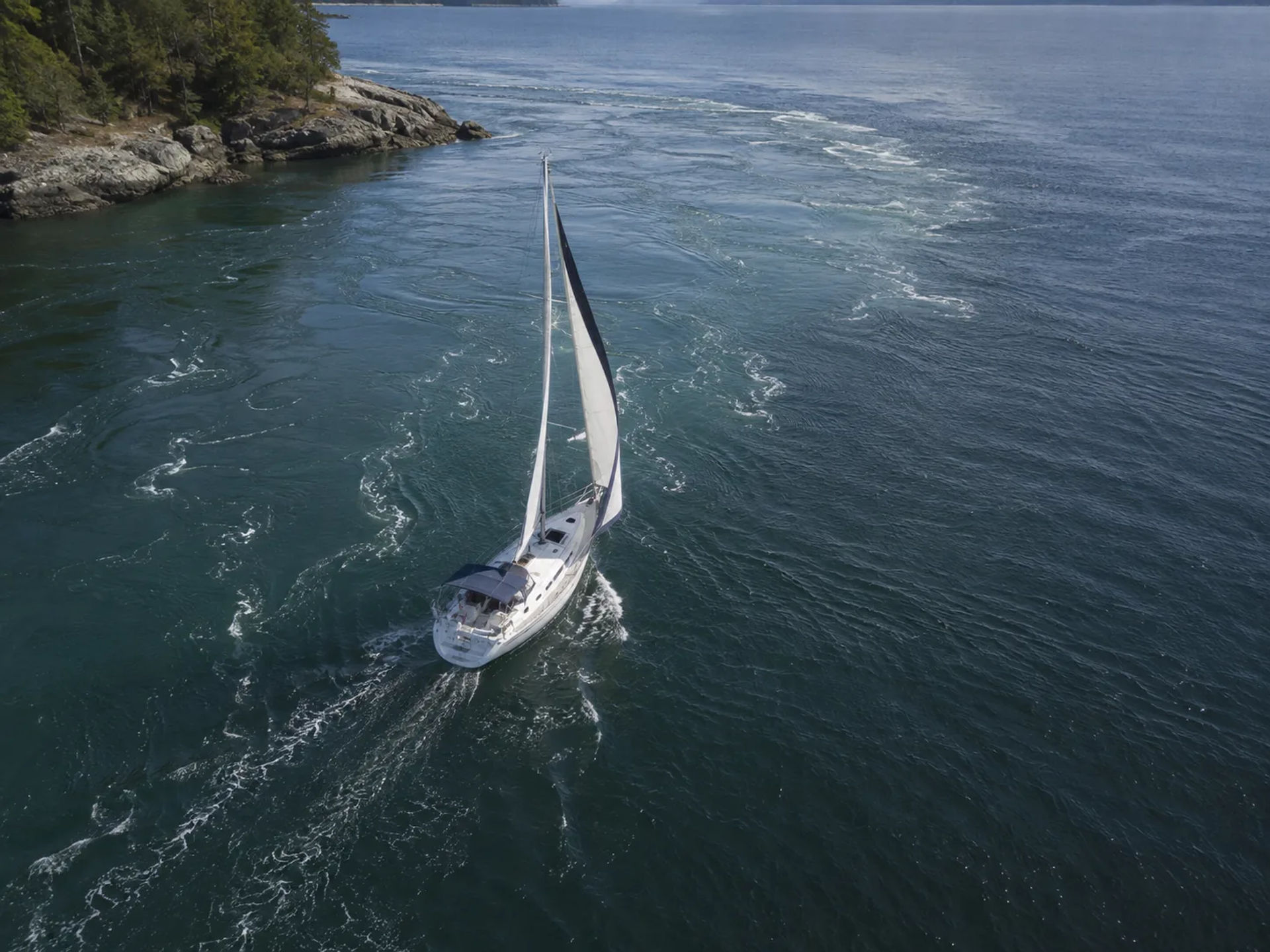
Current can push a vessel away from its intended route even when the boat maintains a steady heading. The direction toward which the current flows is called its set, while its speed is called its drift.
A vessel may steer one course through the water but follow a different course over the ground. This distinction is one of the most important concepts in coastal navigation.
When current information is available, the navigator can construct a current vector to estimate its effect. This involves combining:
- The boat’s course and speed through the water
- The current’s set and drift
- The resulting course and speed over the ground
Current predictions should be treated as estimates. Actual conditions may differ because of wind, tides, local geography, river flow, atmospheric pressure, and recent weather.
Course Steered Versus Course Made Good
The course steered is the direction indicated by the vessel’s compass after applicable corrections. The course made good is the actual path the vessel follows over the ground.
In calm water without meaningful wind or current, these two courses may be nearly identical. In coastal waters with current or strong crosswinds, they can differ considerably.
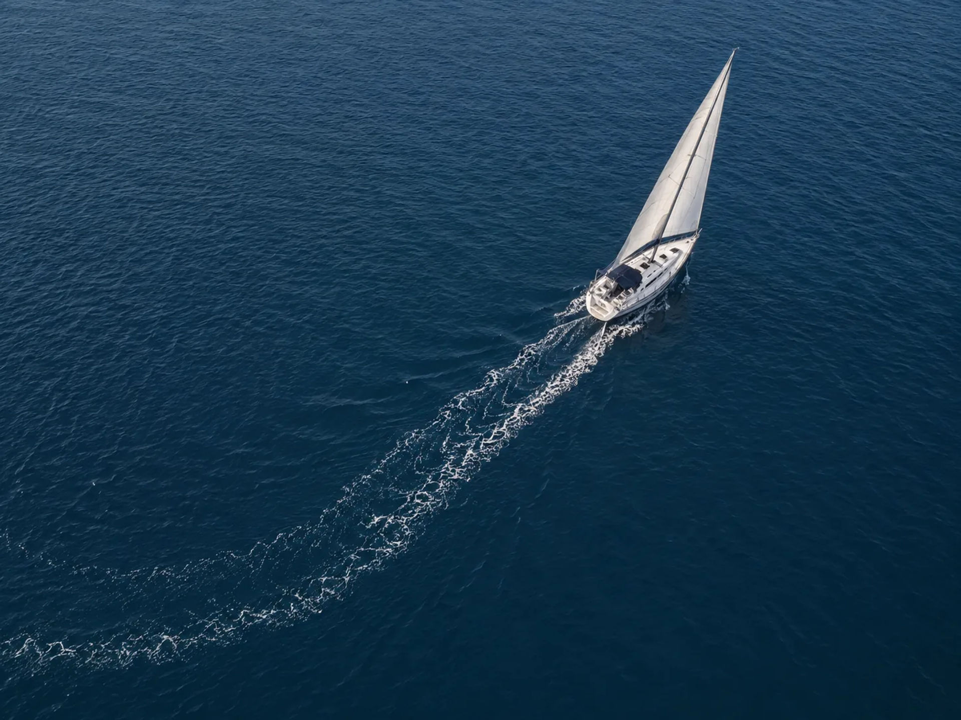
Understanding this difference helps sailors recognize why a perfectly maintained compass course does not always lead directly to the intended destination.
Speed Through the Water Versus Speed Over the Ground
Speed through the water measures the boat’s movement relative to the surrounding water. Speed over the ground measures movement relative to the Earth.
A favorable current can make speed over the ground higher than speed through the water. An opposing current can make it lower.
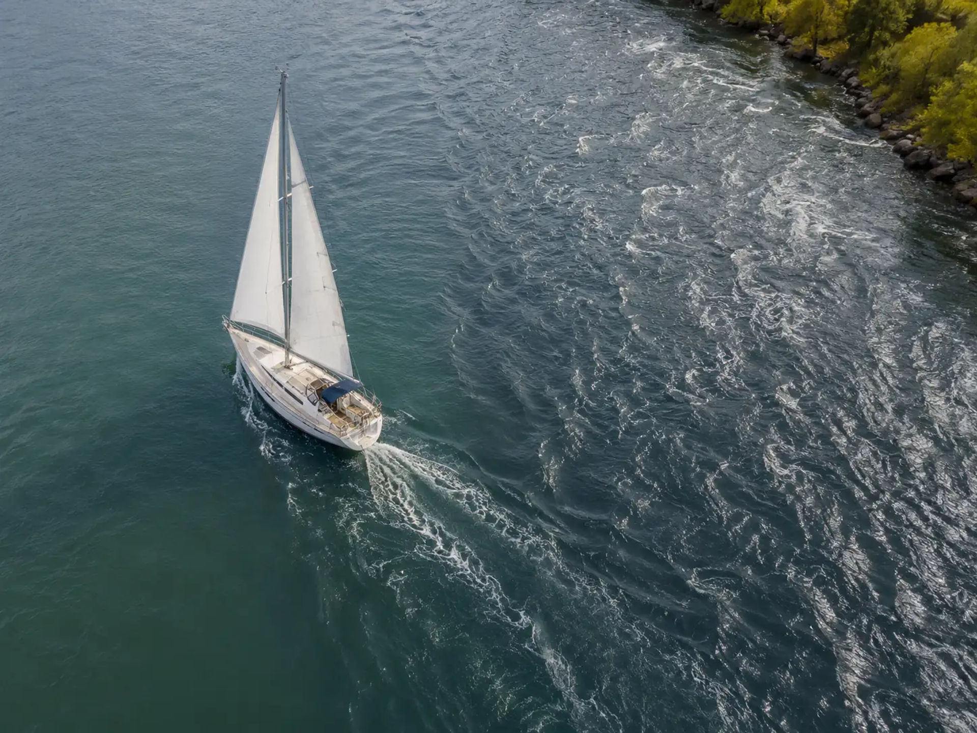
For example, a boat traveling at 6 knots through the water against a 2-knot current may move over the ground at only about 4 knots. If the navigator uses 6 knots in the DR calculation without accounting for the current, the plotted position will be ahead of the vessel’s actual location.
Chart Tools Used for Dead Reckoning
Traditional dead reckoning requires only a few basic navigation tools:
- An updated nautical chart
- Parallel rulers or a rolling plotter
- Dividers
- A sharp pencil
- An eraser
- A compass
- A clock or watch
- A navigation log
- Tide and current information
Electronic tools can support the process, but sailors should still understand how to perform the calculations and plotting manually.
Using the Rule of 60 for Quick Navigation Calculations
The Rule of 60 is a practical mental-math tool used to estimate time, speed, distance, and small-angle corrections. Because one hour contains 60 minutes, the rule is particularly useful when speed is measured in nautical miles per hour.
For example, a boat traveling at 6 knots covers:
- 1 nautical mile in 10 minutes
- 2 nautical miles in 20 minutes
- 3 nautical miles in 30 minutes
- 6 nautical miles in 60 minutes
A boat traveling at 5 knots covers approximately one nautical mile every 12 minutes. Learning these relationships can help sailors make quick checks without using a calculator.
When to Use Dead Reckoning During a Passage
Dead reckoning should begin when the vessel departs a confirmed position and continue throughout the passage. It is not limited to emergencies or offshore sailing.
This marine navigation technique is especially valuable:
- Between confirmed position fixes
- During nighttime passages
- In fog or reduced visibility
- When landmarks are unavailable
- When crossing areas with current
- During coastal cruising
- When electronic equipment fails
- When checking GPS or chartplotter information
- When estimating arrival at a waypoint
Maintaining a continuous DR plot means the navigator always has a working estimate of the vessel’s position.
Learn Coastal Navigation at Naos Yachts in Marina del Rey
Naos Yachts is a sailing resource and sailing school located in Marina del Rey, California. We offer a wide range of American Sailing and American Boating certified classes designed to help new and experienced sailors strengthen their practical knowledge, confidence, and decision-making on the water. Our instruction covers essential sailing skills that can help students become more capable and safety-conscious mariners.
Sailors interested in mastering navigation by dead reckoning and other coastal navigation skills can explore our ASA 105 Coastal Navigation and ASA 106 Advanced Coastal Cruising classes. ASA 105 focuses on the theory and practice of coastal navigation, including chart work, position plotting, course calculations, tides, currents, and traditional navigation methods. ASA 106 builds on those skills through advanced cruising instruction, passage planning, navigation, seamanship, and vessel operation in more demanding coastal conditions.
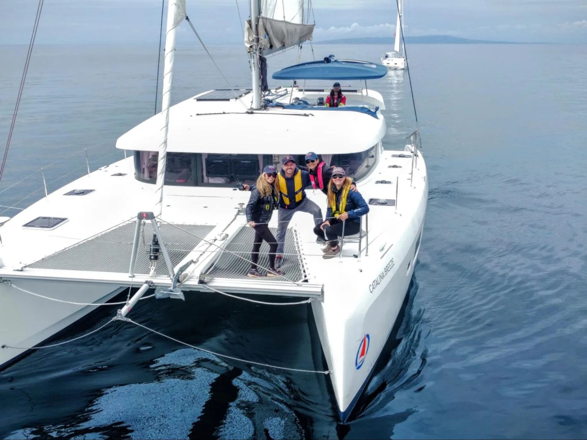
Build Confidence Through Proper Navigation Training. Book a Sailing Class at Naos Yachts Today
Navigation by dead reckoning gives sailors a reliable way to estimate position using a known starting point, course, speed, and elapsed time. Although the calculation itself is straightforward, accurate navigation also requires careful chart work, regular updates, environmental awareness, and frequent confirmation through independent observations.
Learning dead reckoning in sailing can make you less dependent on electronics and more attentive to how your vessel is moving through the surrounding environment. To strengthen your navigation skills with experienced instruction, contact Naos Yachts in Marina del Rey or book an ASA 105 Coastal Navigation or ASA 106 Advanced Coastal Cruising class directly online.
FAQs
How do you calculate a dead reckoning position at sea?
To calculate a dead reckoning position, multiply the boat’s speed in knots by the travel time in hours to determine the distance traveled. Plot that distance along the vessel’s course line from the last known position on a nautical chart.
What is the basic formula used for dead reckoning?
The primary dead reckoning formula is distance equals speed multiplied by time. The formula can also be rearranged to calculate speed by dividing distance by time or to calculate time by dividing distance by speed.
What information is needed for navigation by dead reckoning?
You need a reliable starting position, the vessel’s course, its average speed, and the amount of time traveled. Accurate chart plotting and consistent recordkeeping are also important for maintaining a dependable DR track.
How accurate is dead reckoning in sailing?
Dead reckoning in sailing can provide a useful position estimate over short periods, but its accuracy decreases as time passes. Small errors in speed, course, current, or steering can accumulate and cause the plotted position to differ significantly from the boat’s actual location.