May 2026 Trip to Two Harbors, Catalina
By Mark & Melanie Trowbridge
One of Naos Yachts’ customers is the Trowbridge family, who enjoy cruising aboard their Beneteau First 36.7, Venteux. The following article describing a coastal voyage was written for the newsletter of their yacht club, the Anacapa Yacht Club, and they are pleased to share it with the Naos family as well, passing along a few of the lessons from their first longer passage aboard Venteux.
The Trip to Catalina
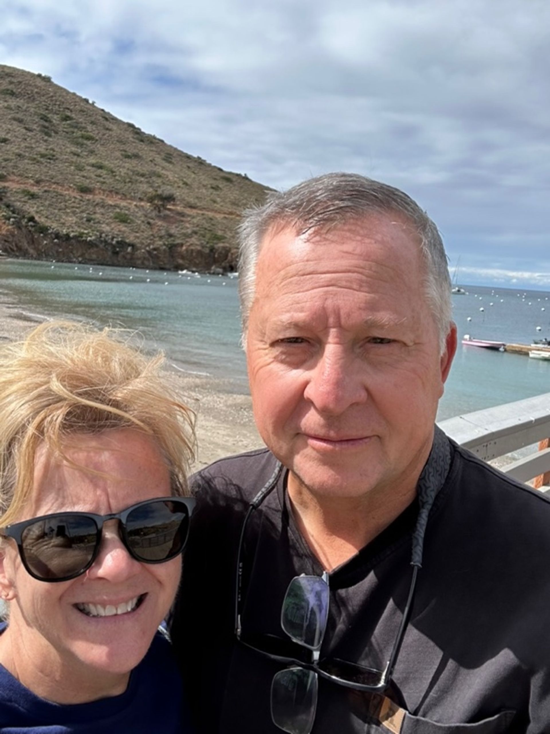
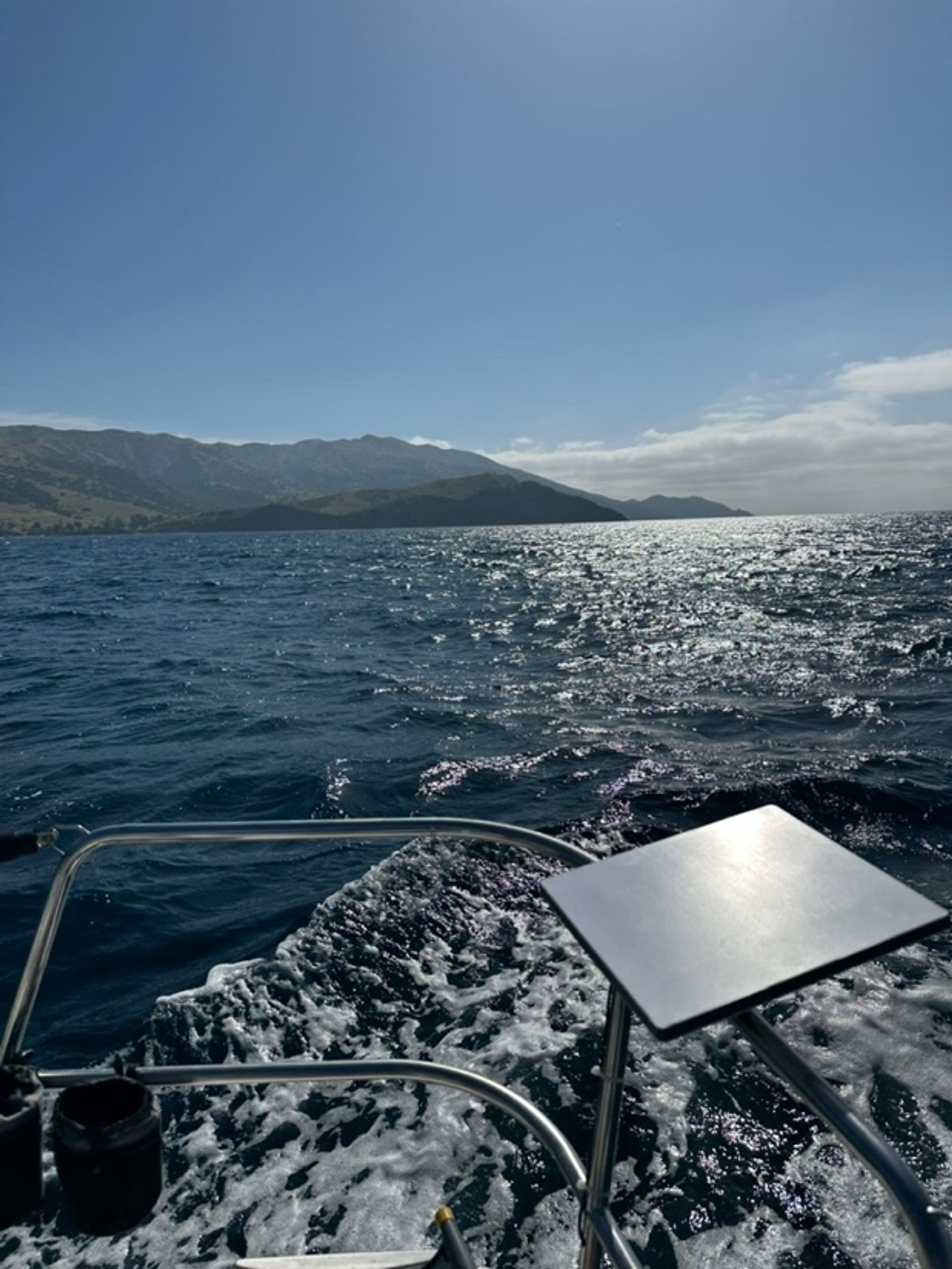
After a prep day in our slip, we (my wife Melanie, me and our friendly collie Clancy) left Channel Islands Harbor at 6:30 a.m. on Saturday May 2nd with our first waypoint set around 3 miles south of the Anacapa lighthouse. Mild fog and light winds kept visibility low, so we relied on our new B&G chart plotter and radar to navigate across the shipping lanes while powering at around 6.5 knots. Once at our first waypoint, we hung a left and pointed to the next waypoint set outside of Isthmus Cove (Two Harbors) on Catalina. Our chart plotter had told us the entire trip would be around 68 miles.
Very peaceful trip. Saw dolphins, sharks, a large turtle, a catamaran powering in the opposite direction, and myriad numbers of By-the-wind sailors Velella. The true wind stayed below 5 knots until the last hour of the trip when it picked up to 15+ knots near the West end of Catalina and the seas became choppy and began throwing out whitecaps. No sailing, just cruising via diesel.
First challenge: Fuel gauge accuracy
Our fuel gauge (newly installed) indicated below 7/8ths of a tank…despite the engine pushing the boat 60+ miles. Hmmm. So out of caution, before leaving for our return trip, we topped off our diesel tank from the Two Harbors fuel dock - - where we put in 9 ½ gallons of fuel into our boat’s 18 gallon fuel tank. Note to self – Have our electrician(1) calibrate or replace the “new” fuel gauge to reflect the actual fuel level.
Second challenge: Cockpit iPad power management
An iPad in the cockpit was used to “mirror” the chart plotter in the cabin’s navigation station. Because our electrician hadn’t had time to add a USB charging cord to the Edson steering column, he provided us with two chargeable battery packs to keep the iPad going. We replaced one when it got low with a fresh one, and plugged the other back into a port in the cabin to recharge. That worked, but does make a sailing passage more interesting to see a “Low Battery” warning as you’re watching the AIS outline of a merchant vessel on the display. Note to self – Have electrician to install a USB DC charge cord on the steering column.
Third challenge: Dog comfort underway
This was Clancy’s first long sailing trip. He did great, but decided to completely boycott the astro-turf pee pad we’d brought along for the trip. He just “held it” the entire way to Catalina. More about this later. Note, on the trip we got a few curious looks at the astro-turf pad wedged behind our backstay. Hopefully they assumed it was a golf putting green feature like on Mark Zuckerberg’s yacht!
Fourth challenge: Steering wheel failure offshore
Midway between Anacapa and Catalina, we noticed that two (of the five) spokes in our Edson aluminum 51” diameter steering wheel had broken at the hub. Uh oh. So we handled the wheel very gently through the rest of our journey. We’ll get a new wheel to replace it. Annoying though, as Melanie had spent nearly two full days stitching a leather wheel cover onto the wheel. Sorry dear. Grrr.
Arrival at Two Harbors
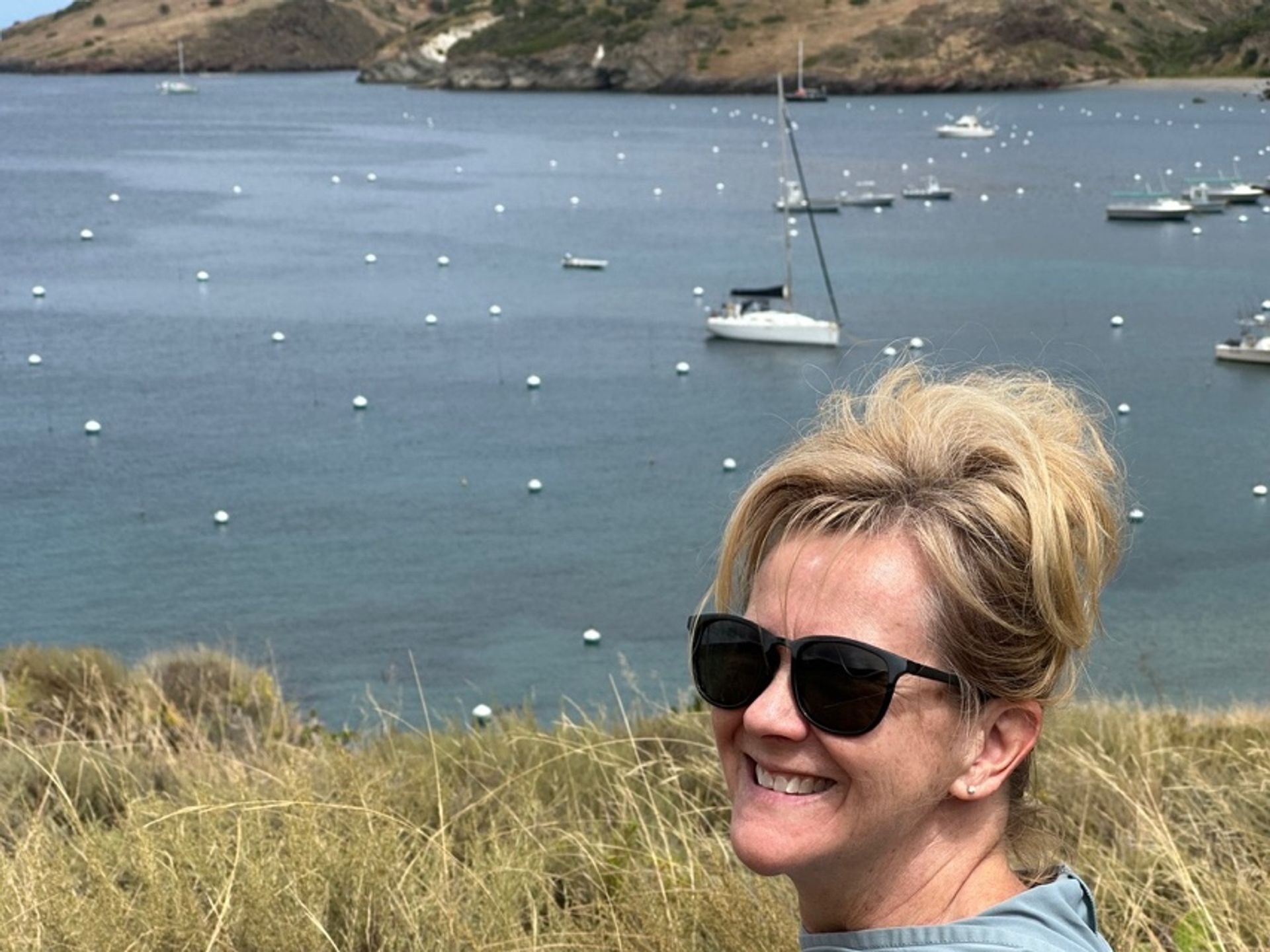
Even though we arrived on a Saturday, the harbor was fairly empty. The Two Harbors Harbor Patrol were great. They coached us through our first mooring ball experience but we nailed it the second time around. The harbormaster said, “That was really good for your first time, you only missed it by this much!” (we still aren’t sure if that was a real compliment).
Fifth challenge: Catalina mooring technique
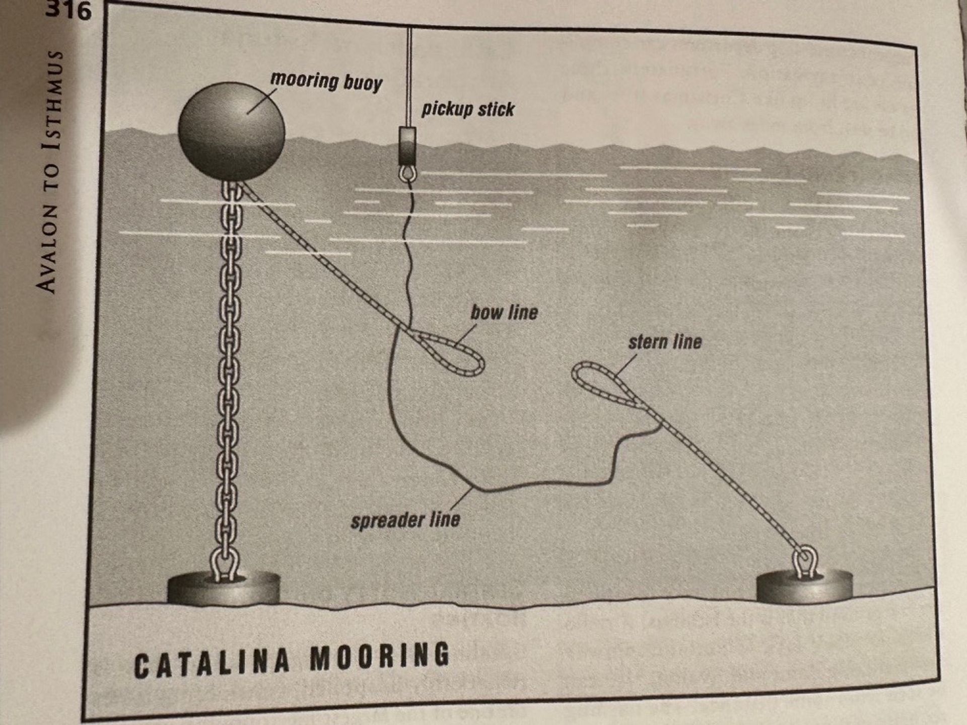
For those who’ve never picked up a Catalina mooring, it was helpful to see in Fagan’s book(2) the following drawing. The trick (as we learned) was to align the boat to be able offset the wind drift before coming up very slowly so that your bow person (in this case Melanie) can grab the stick and pull up the string line until getting the heavy mooring line’s loop over a bow cleat. We then hand-walked the weighted drop line back to the stern where the rear mooring line could be attached to a stern cleat. A tip the harbormaster provided was to tie the “spreader” line over the front mooring line loop in a classic cleat figure eight cleat knot - - thus preventing the possibility of the loop accidentally slipping off the cleat (which he said has happened to many boats if wind shifts and rollers enter the moorings from different angles).
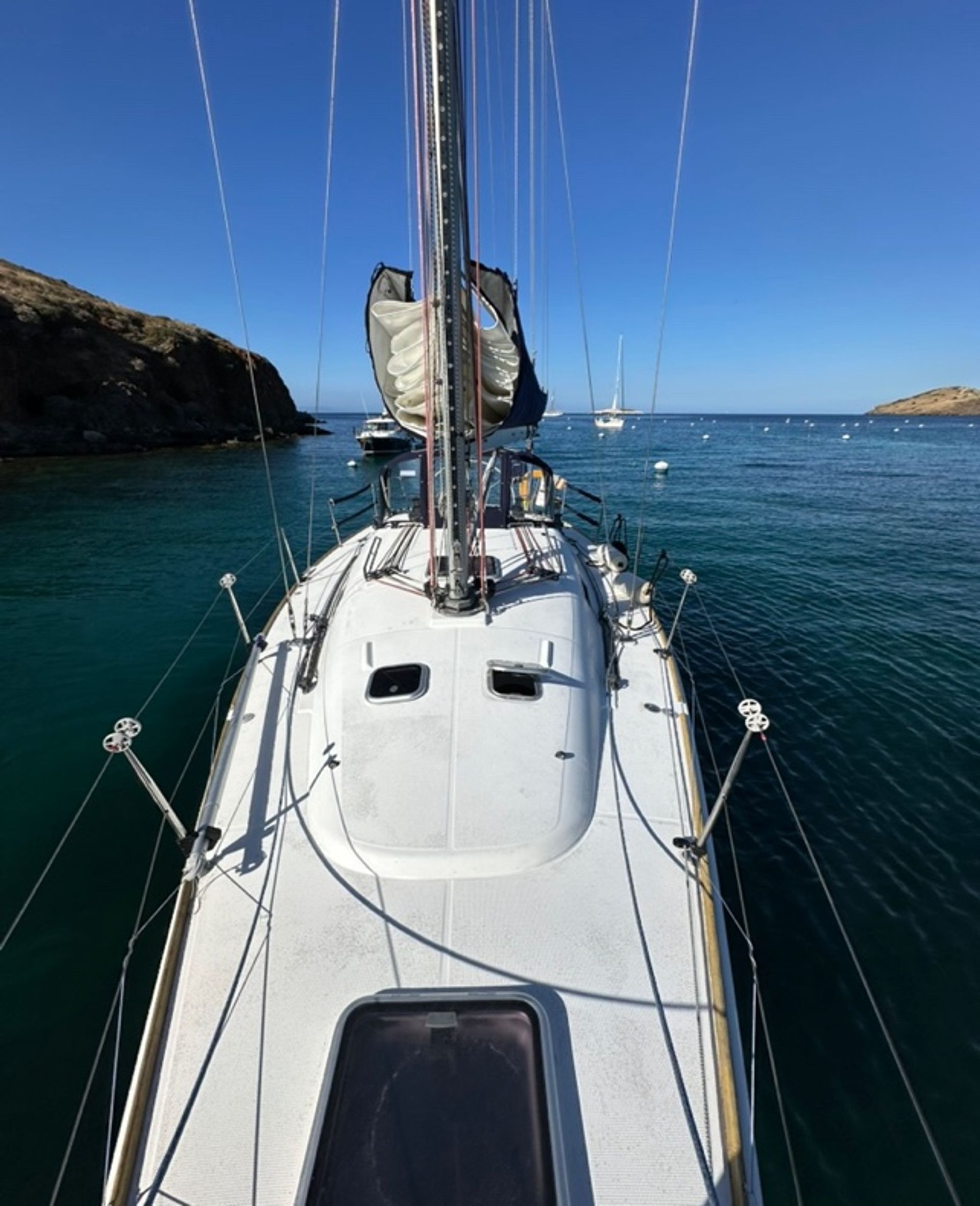
As Murphy’s Law would have it, that same night all the moored boats experienced pitching and rolling due to leftover wind chop wrapping around the Eastern harbor mouth (mast tips swinging 10° – 12° or so) and hitting many boats around us. Not terrible, just uncomfortable. The next morning, the harbormaster was kind and shifted us to a more-protected mooring close to the Western cliff wall of the harbor for the remainder of our visit. Absolutely smooth there.
They also shared a tip that the moorings available on the Catalina Two Harbors reservation website each Thursday before a non-holiday weekend are the “not-as-prized-moorings” in the harbor. Those also have a $25 surcharge added. He said the “best moorings” are only available on a first-come-first-served basis. If you’re concerned about getting any mooring in a busy season arrival, it may be worth paying the extra $25. After your arrival, the harbormaster can usually switch you to a better mooring. Otherwise, they recommend just show up to stay at Two Harbors midweek and “non-holiday” periods.
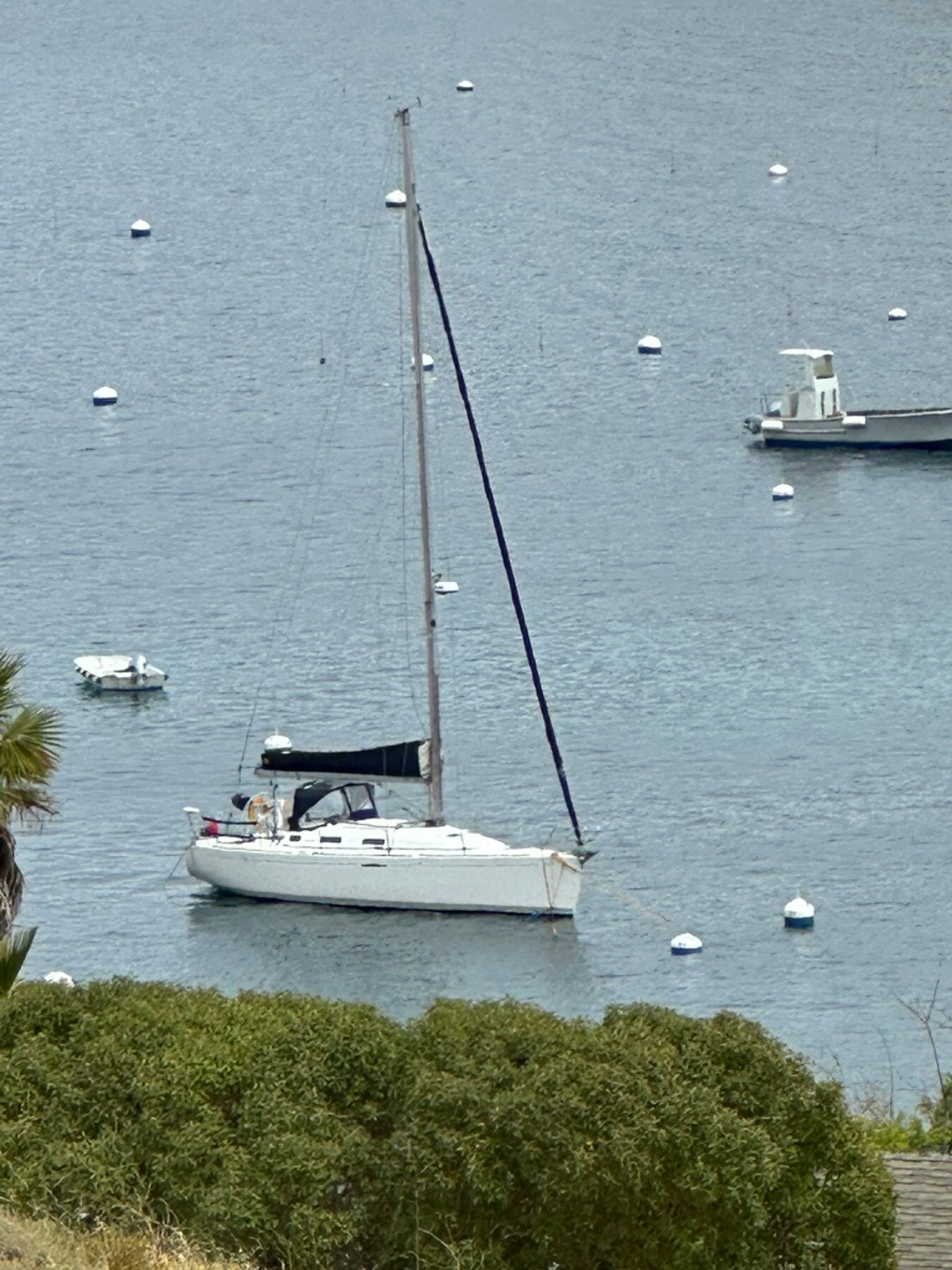
Right: a solo sailboat on a mooring in the cove.
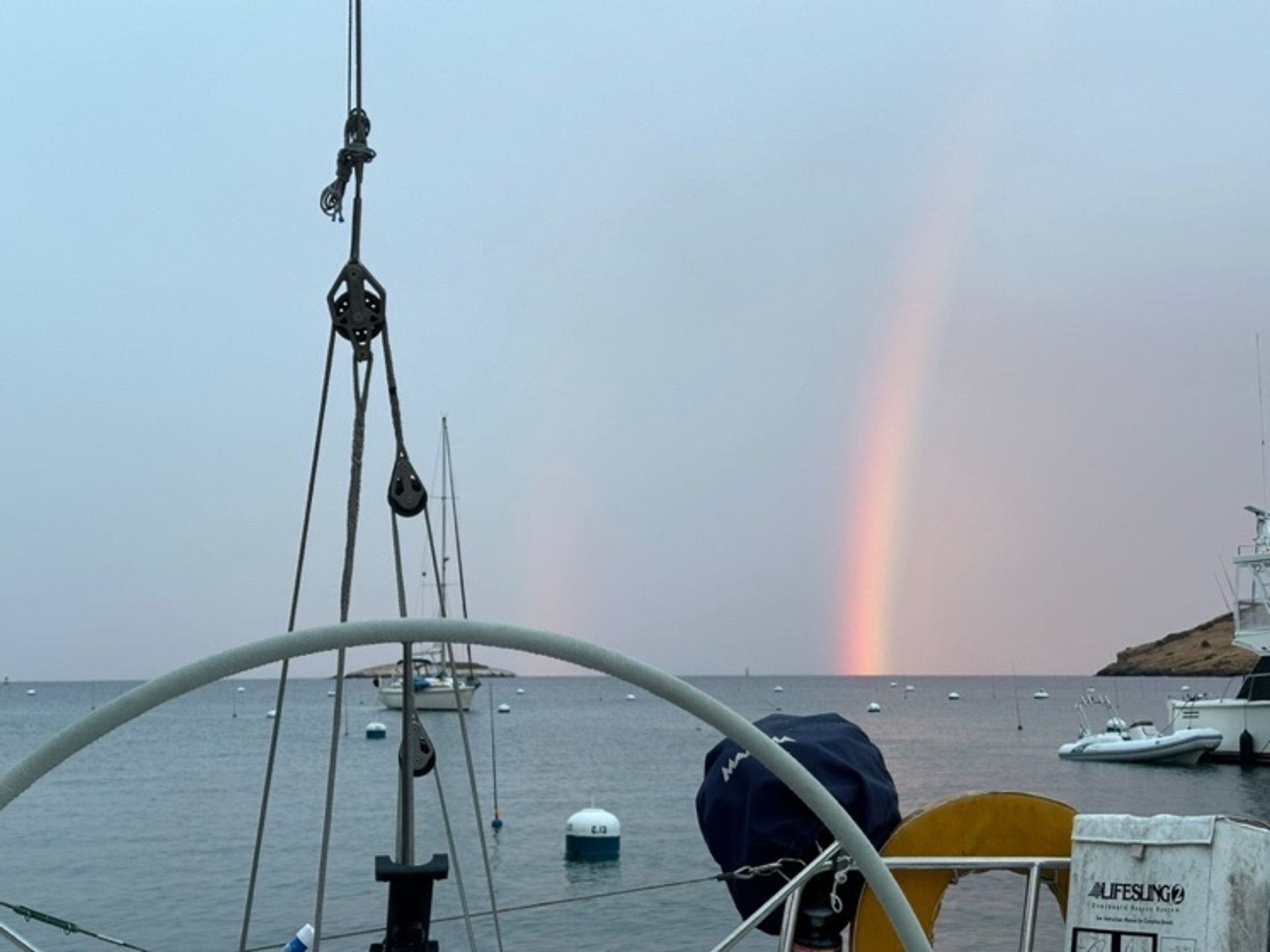
Right: a rainbow over the Two Harbors anchorage.
Sixth challenge: Safely moving Clancy by dinghy
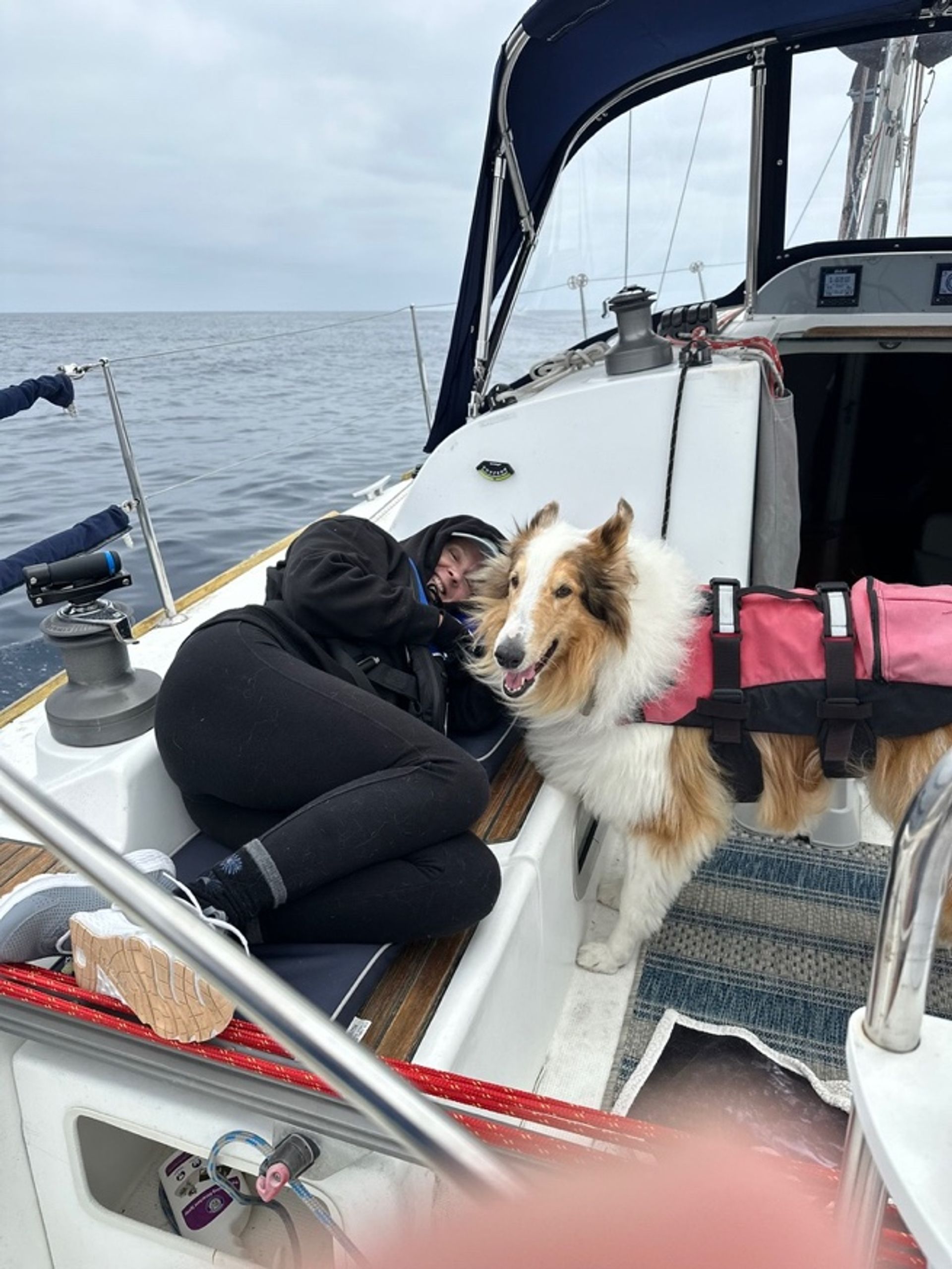
How do you get a 75 lb. collie into and out of a dinghy when its floor is nearly 4 feet lower than the deck of your sailboat? Answer – 4:1 Harken block and tackle hung from end of boom and clipped onto the dog’s durable life jacket fit for such maneuvers (has chest strap/belly band and a lifting handle with eye). Worked great J. Tag-teamed, we easily lifted and lowered Clancy. Then Mark (usually) took him for rides to the dinghy dock morning and evening for restroom activities and a walk. Clancy would also get a return trip mid-day when the whole crew went ashore for our daily hike.
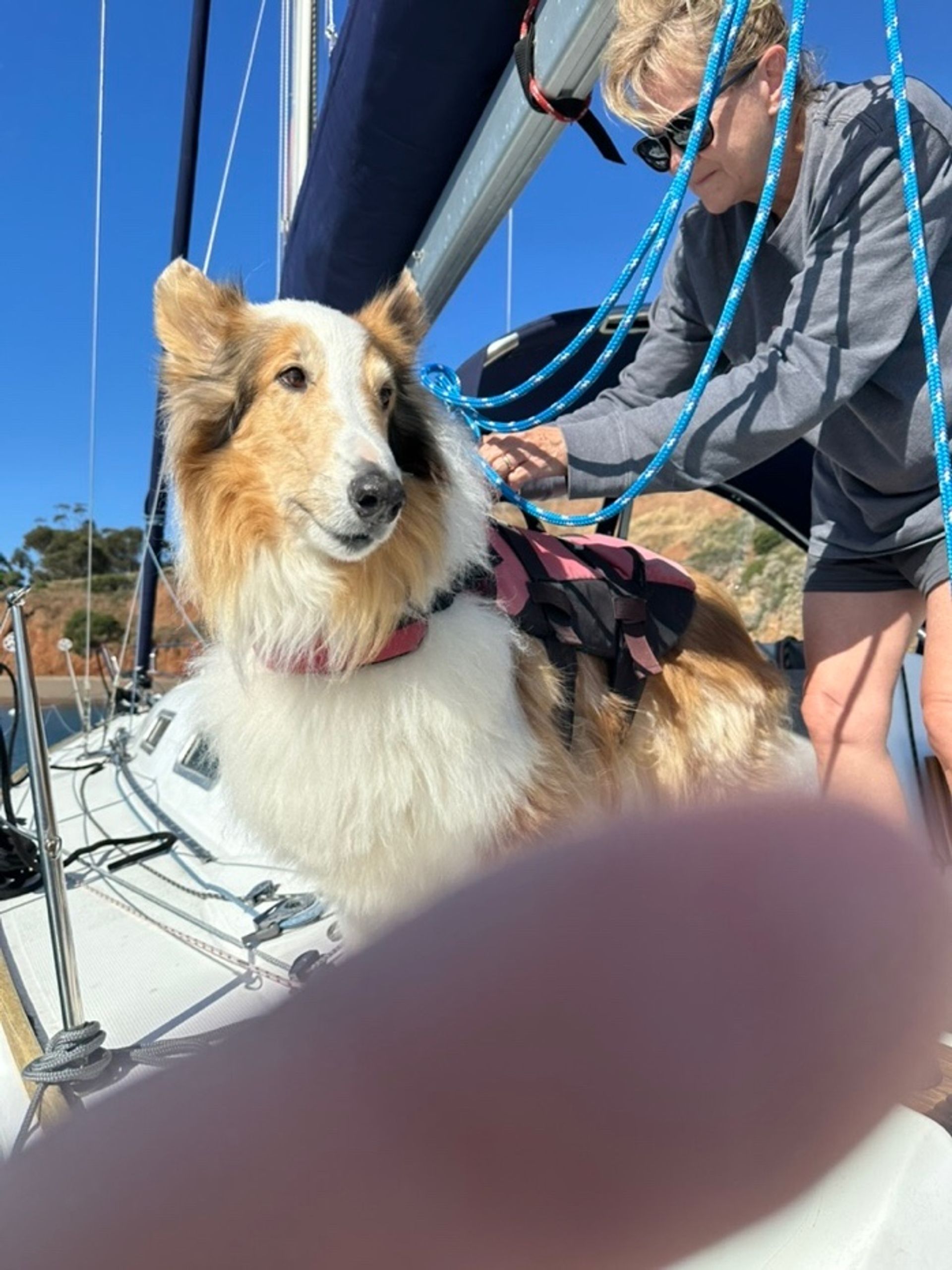
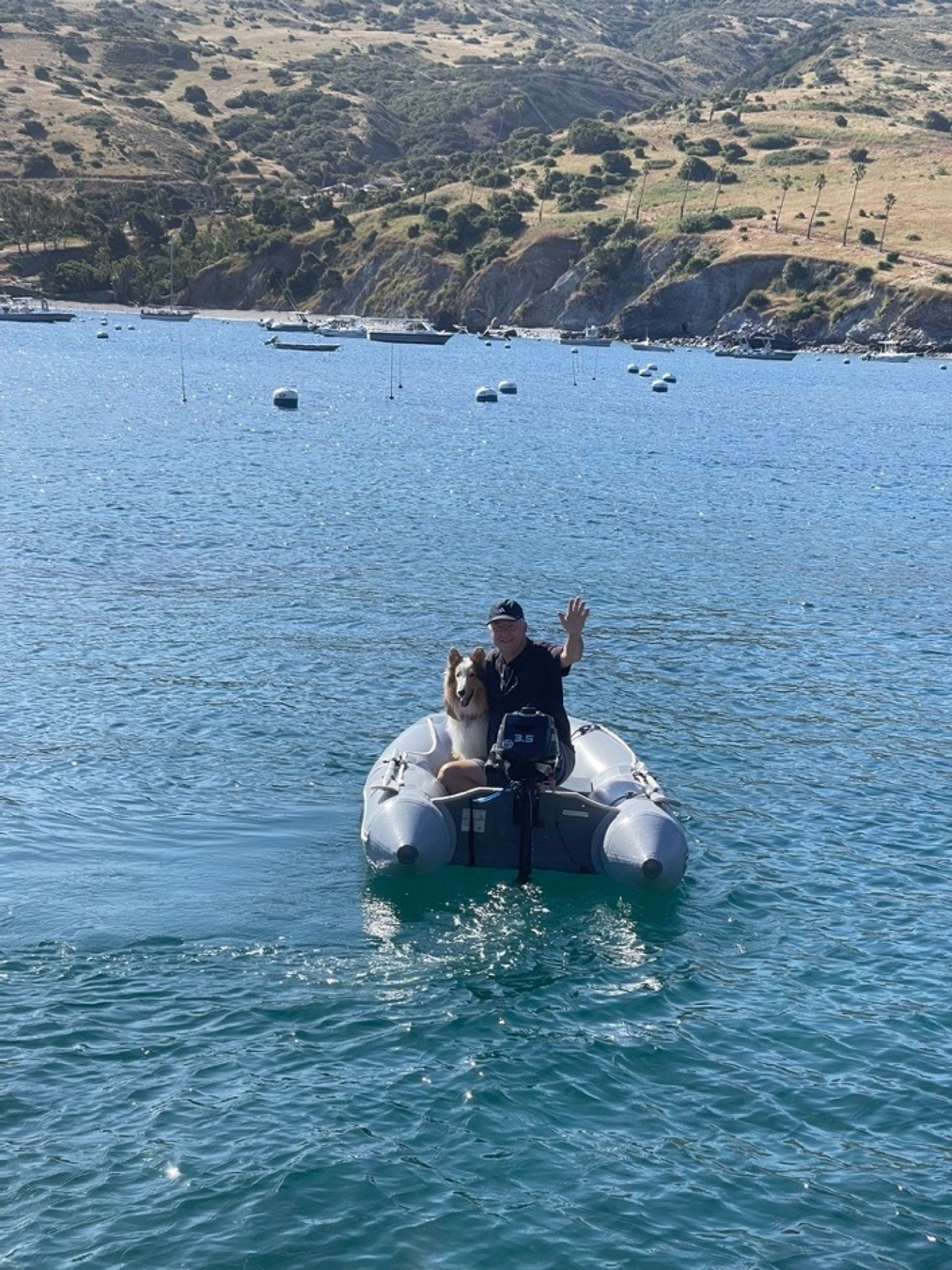
Right: Mark and Clancy heading out by dinghy.
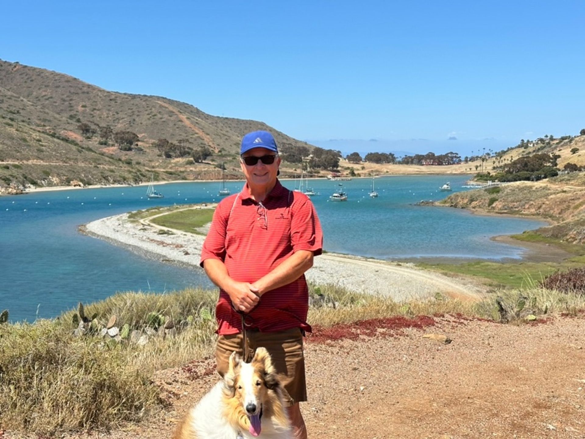
We experienced nice weather the whole time we were on Catalina. Low clouds most days but got more sunshine as we moved into the next week. We took different walks; towards Emerald Bay, towards Avalon, over to Cat Harbor and the San Clemente Island side. Saw lots of wildlife, including an Osprey and a Santa Catalina Island fox (Urocyon littoralis catalinae) a larger distant relative of the Santa Cruz Island Fox (Urocyon littoralis santacruzae). The Catalina fox strain was nearly wiped in the 1990’s by canine distemper. Somehow, the people in the Island Conservancy managed to track down and inoculate most of the Catalina foxes and the population is growing again. Because of this, although boating visitors can bring their dogs onto Catalina, you must keep the dog on a 6’ leash at all times. There is a limit of one dog per owner, must be spayed or neutered, licensed, and you’ve got to carry certification of health and current vaccinations (rabies, distemper, bordetella). We’re proud that our daughter has just earned her DVM degree, and she made sure we were prepared…we didn’t carry hardcopies of Clancy’s certifications but had photos of the certs on our phones (plus Clancy had tags on his collar). We learned the Two Harbors folks are more low-key about visiting dogs than in Avalon, but we were definitely observed. Just be prepared if you take your pooch to Catalina!
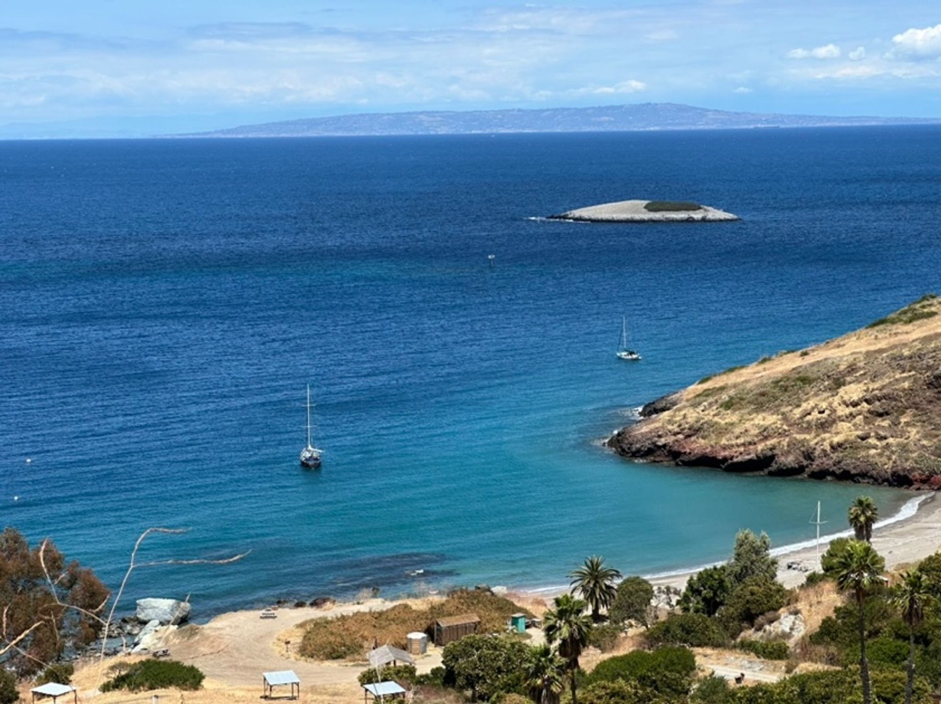
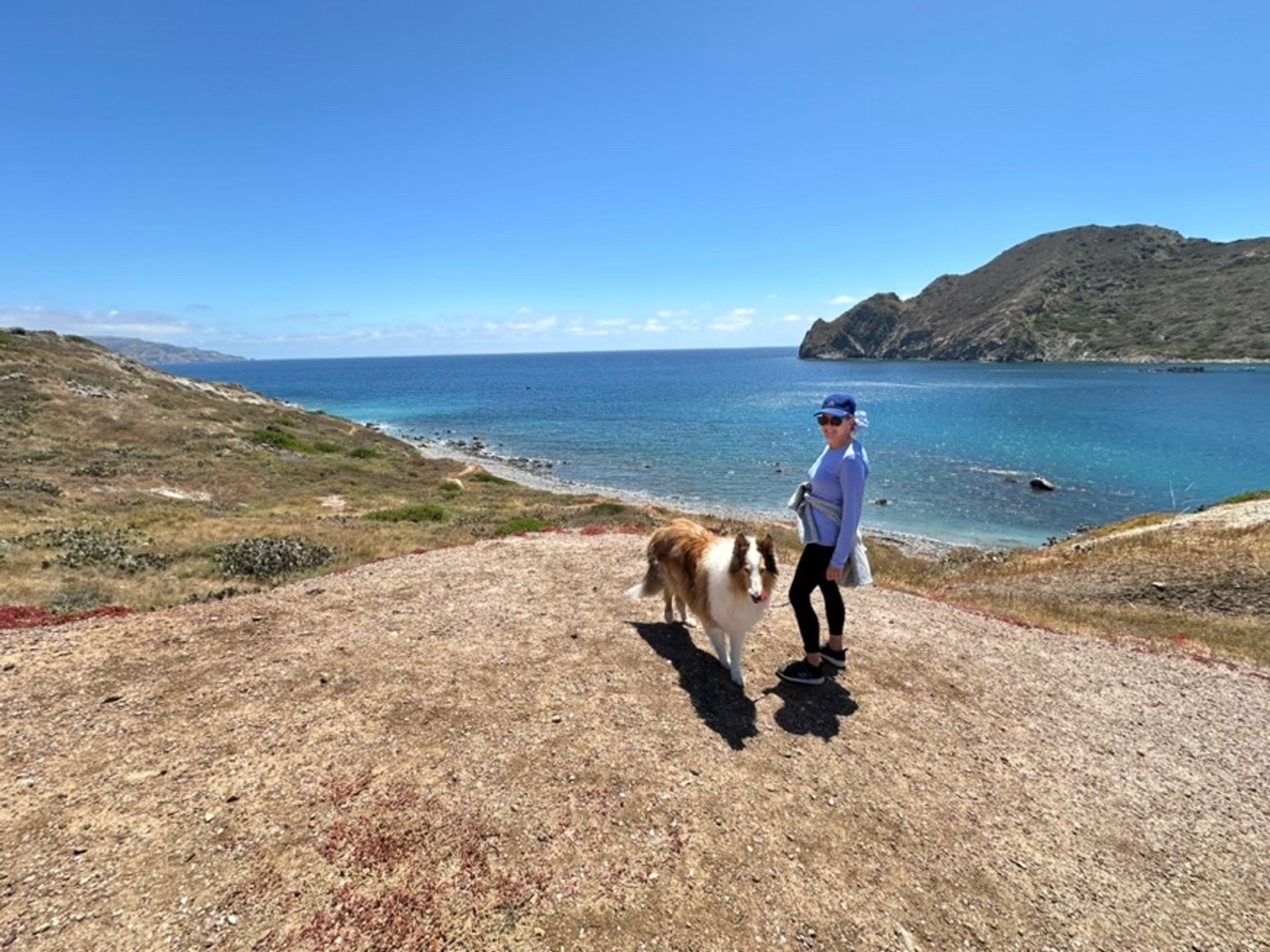
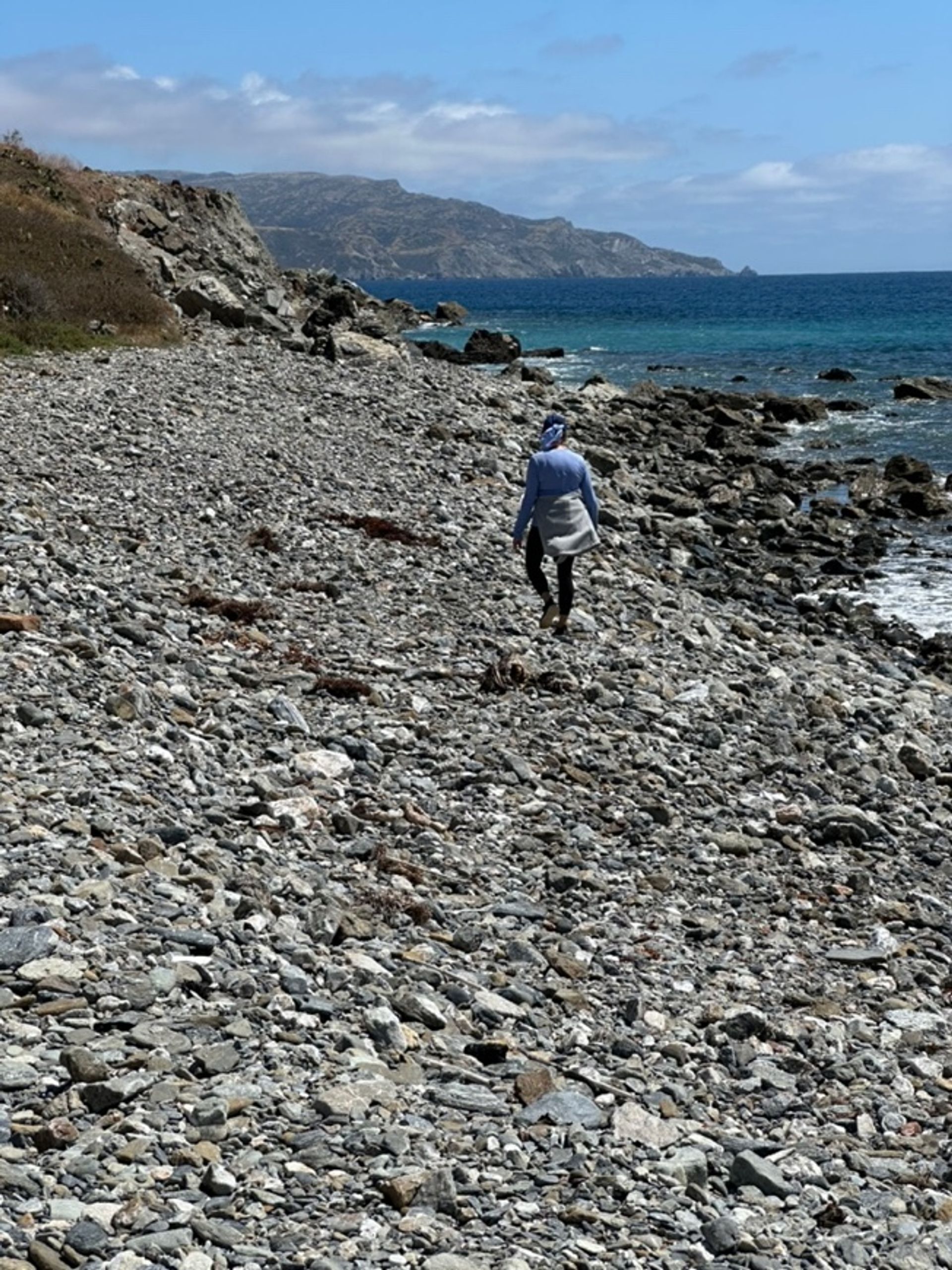
Right: a rocky shoreline hike on Catalina Island.
All our meals were cooked on the boat (even though Two Harbors does have three places to eat: The Harbor Reef Restaurant, Harbor Sands Beachfront, and the West End Galley). Melanie created great pastas/grain dishes, salads and soups/stews. We barbecued steaks wrapped in bacon one night and chicken sausage skewers another. Hawaiian Sweet Rolls with deli meats and cheeses were quick pick-me-ups while sailing. Roasted and salted ranch-flavored Edamame snacks was a new surprise for one of us (thanks Melanie!). Most-importantly, French-pressed coffee set the day each morning.
Seventh challenge: Power and battery management at anchor
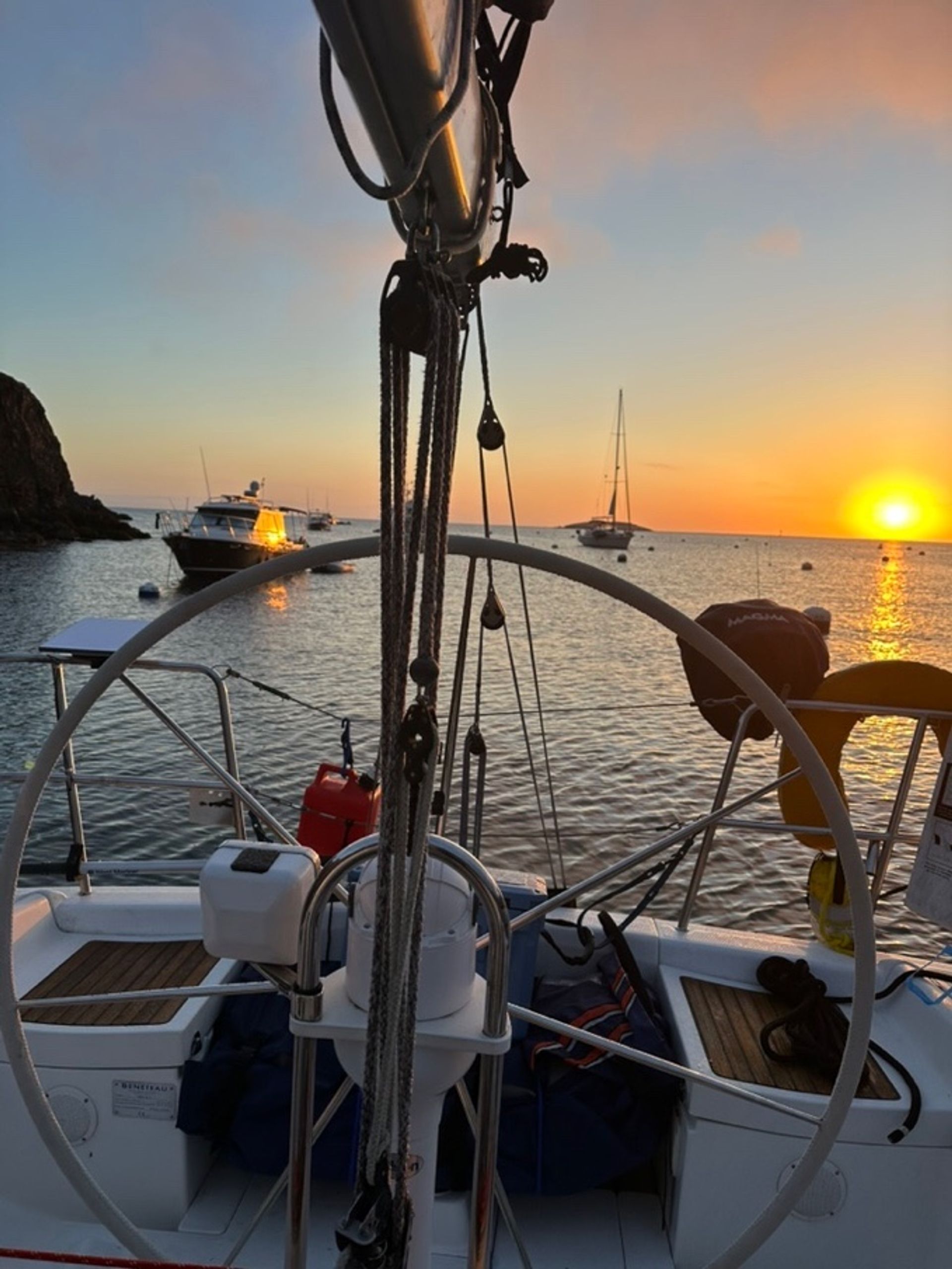
This was the first time we lived on batteries powered off of the two solar panels recently installed on our dodger. A solar charge gauge in our navigation station (plus a charging and battery storage app on our phones) allowed us to track that carefully. We ran the engine for 45+ minutes on several days to boost the battery charges. That would get us back into the 80% - 90% level on the bank batteries [we always shut of the draw on the starter battery] and the panels got us up to 100% on every day except one with full clouds and a touch of rain. Turns out the biggest power consumer was an electric water kettle; but Melanie figured out that the running engine automatically heats the water in the hot water tank…so she’d use that hot water from the sink handle to pre-warm the water for the electric kettle. Took only 4 minutes to then bring that water to a boil for use with coffee and only 3 to 4 amps of draw!
Two learnings: First, our electrician warned us not to let the house bank of batteries get below 50% charge level – takes much longer to recharge and debilitates the batteries long term – and we never got below a 65% charge. Second, when not running the engine, we turned our starter battery switch to “Off”. That way, even if we ran down the house battery bank we would always be able to start the diesel. Note – we’ve asked our electrician to install an additional walkable solar panel on deck to increase our charging ability. Melanie also has secured a 600W electric kettle in exchange for our 1500W longtime friend.
Eighth challenge: Offshore internet connectivity
Standard Starlink coverage in roam mode is fantastic. We were able to watch a movie or two, keep up-to-date on emails and have instant access to mobile phone calls.
While near the northern Channel Islands, standard Starlink covers up to a 12 mile distance offshore from all USA land masses…so sailors around our marina and surrounding areas are pretty covered. But guess what?... out between Anacapa, Catalina and Santa Barbara Islands is a big zone that is beyond 12 miles from the any island and the mainland. No Starlink. No cell service (logical). Side note – Cell reception near Two Harbors was actually pretty good but seemed to lag when fog filled the harbor. Not so great on the Cat harbor side. So we just relied on Starlink and our private WIFI zone. We did not activate Starlink’s Ocean mode (probably won’t do that unless we venture way up the coast or decide to explore below the border) since switching into that mode takes you out of the standard plan rate and starts charging per GB for excess minutes used for all data usage (in and out of the standard coverage area L).– Note, you need Internet access in order to turn on Ocean mode, so plan carefully.
Ninth challenge: Departure-morning dog logistics
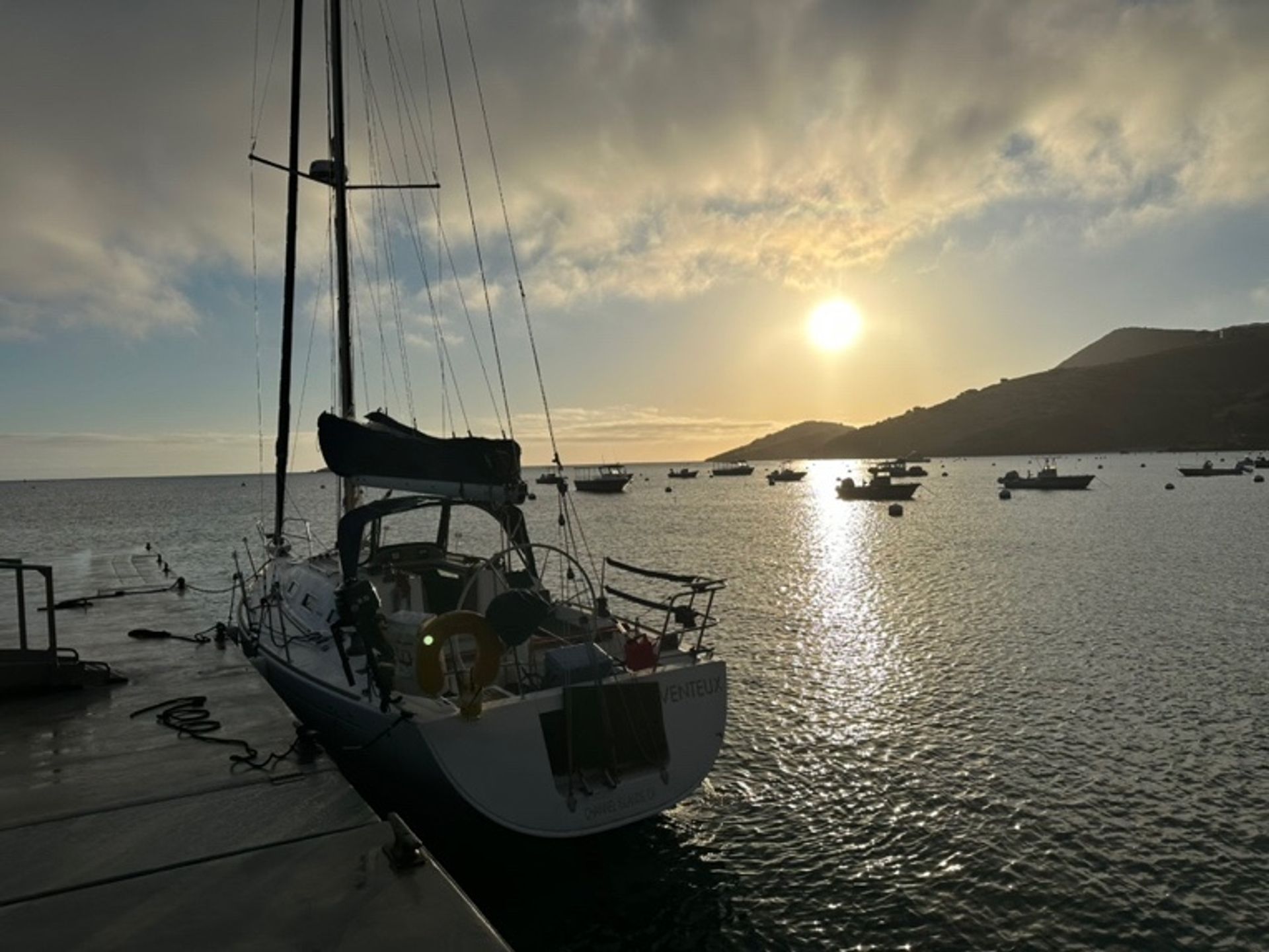
How best to encourage Clancy to do his business the morning of departure, if the dinghy was deflated and stored the night before? Hmmm. The trip back took place on Thursday May 7th. So our solution was to drop our mooring around 6:00 a.m. and take the boat over to the fuel dock. Mark manned the dock lines while Melanie took Clancy for a final tour of his favorite business spots and dropped off a final trash bag.
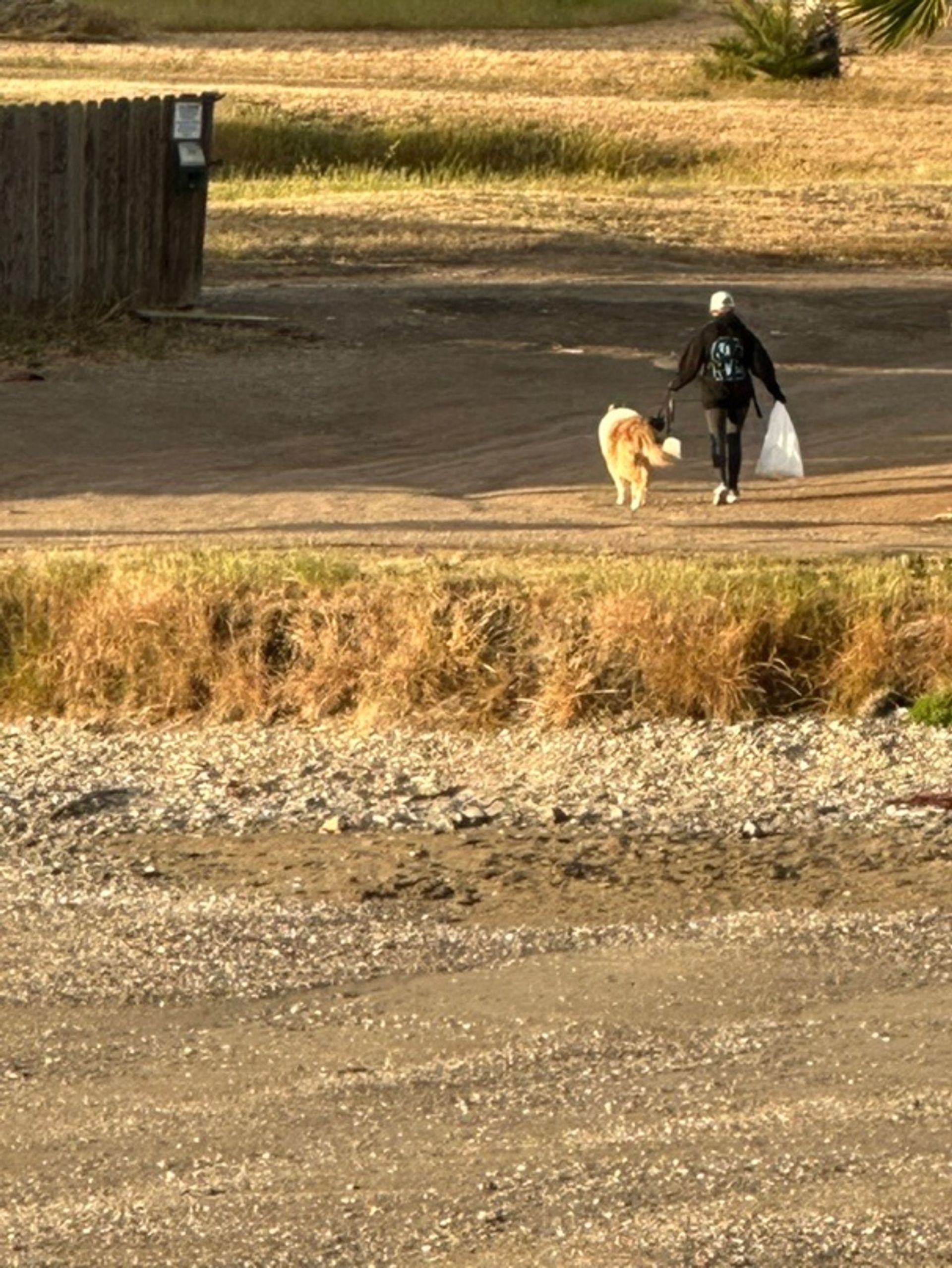
Right: Melanie walking Clancy ashore before departure.
The Trip Back to Channel Islands Harbor
We departed Two Harbors at 6:30 a.m. and powered out past the west end of Catalina. A light wind filled in after a while and we sailed for two hours staying on course for our waypoint near Anacapa Island. We saw what appeared to be the same turtle as our trip out (what are the odds of that happening?!?).
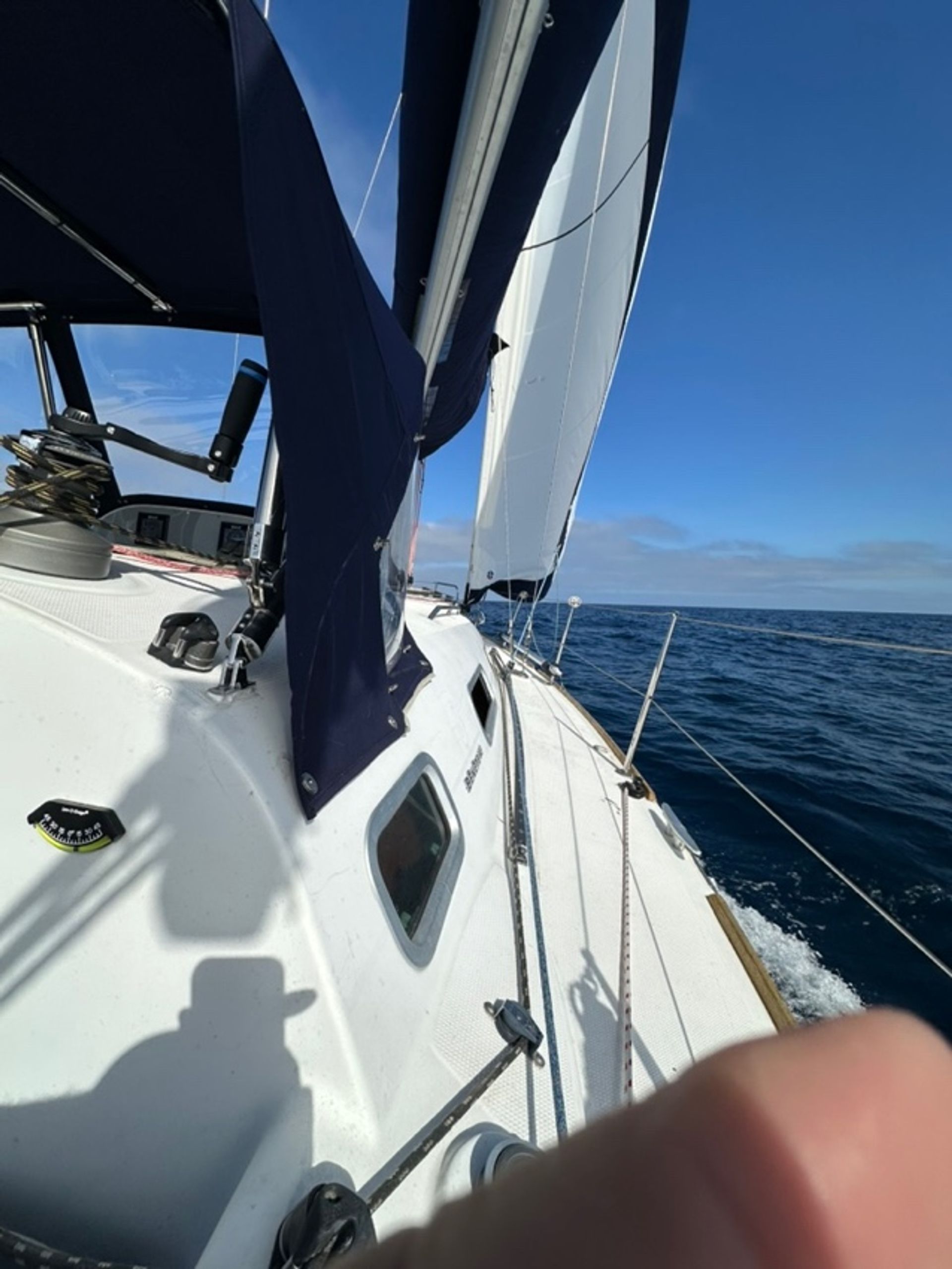
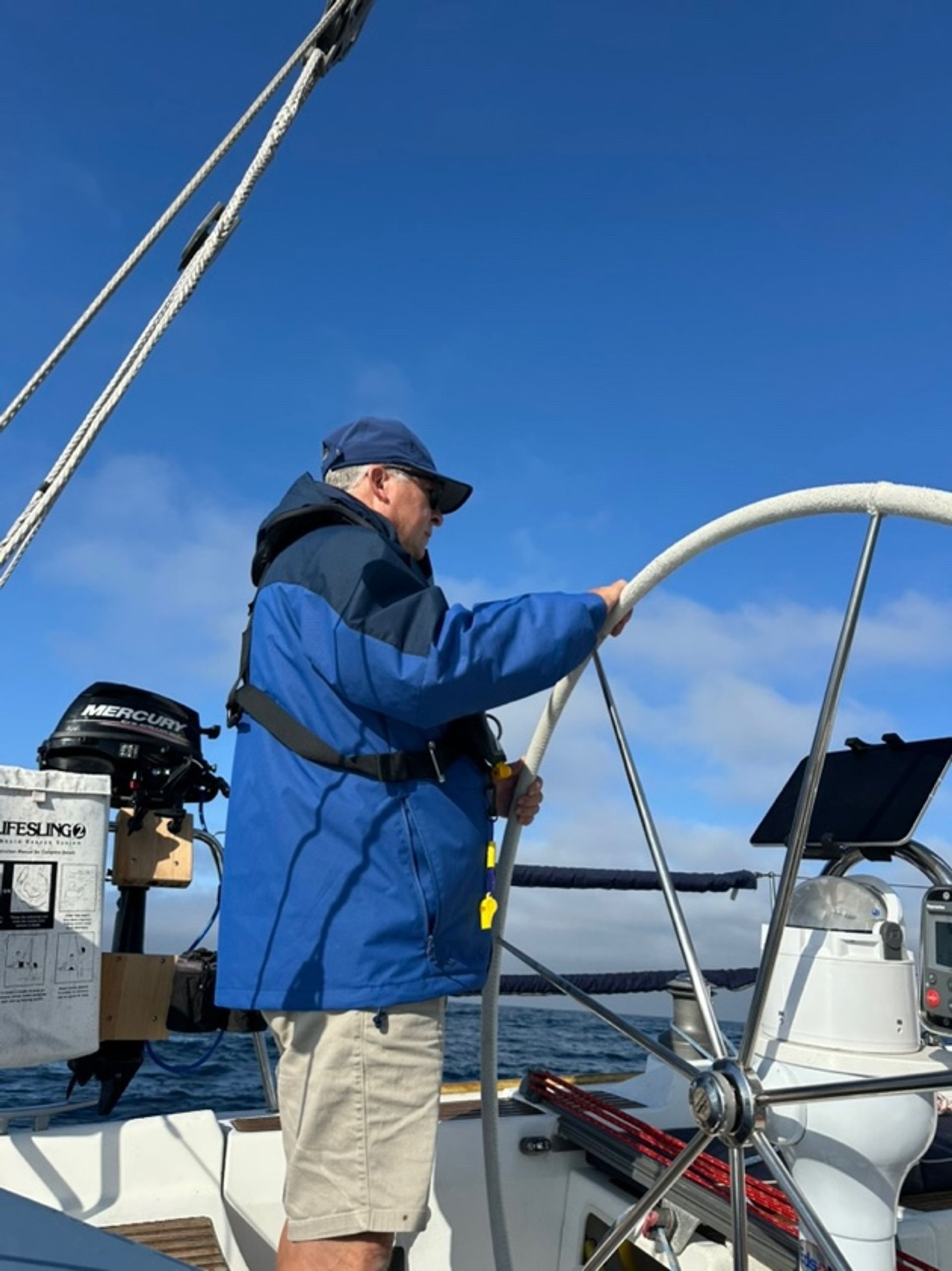
Right: Mark at the helm underway.
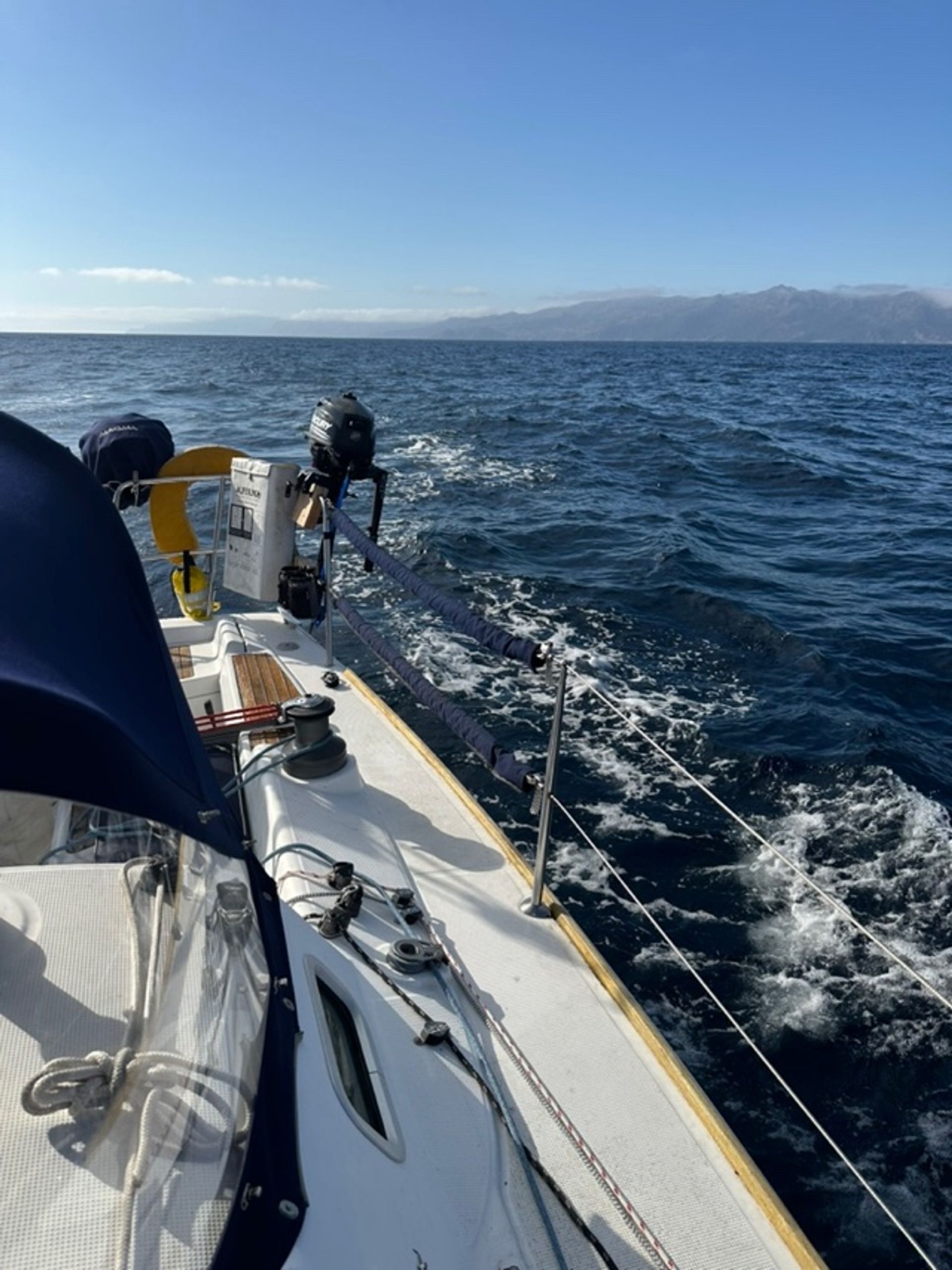
The wind dropped to around 6 knots again though, so we furled the jib and got the diesel running again. Further towards Anacapa, the air temperature dropped as we powered through gently-rolling seas. We saw several larger sharks circling in one area (our crew unanimously-agreed not to try any man-overboard drills there). The entire time between Catalina and close to the entrance of Channel Islands Harbor, we did not pass another pleasure boat…pretty lonely out there on a Thursday.
Later, a little bird (a warbler) flew up behind the boat and landed on the stern. It rested for a long time. Then it hopped into the cockpit and began looking around. It walked up one of Mark’s socks and hopped across his legs.
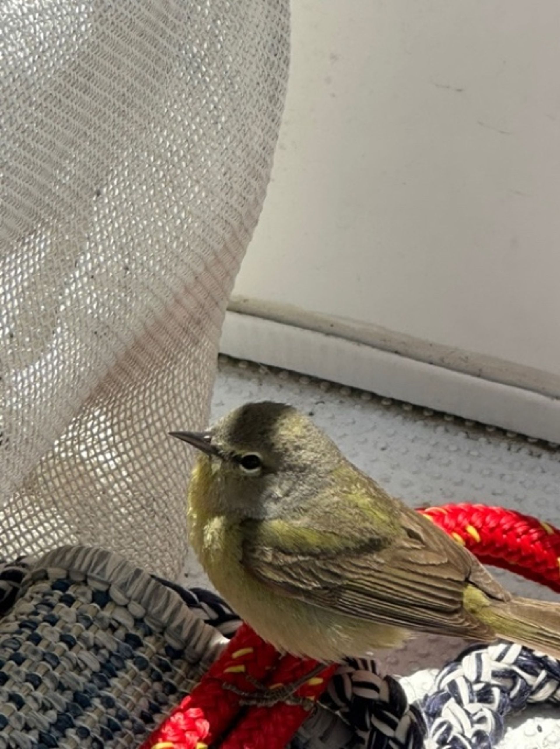
Then it visited Melanie, who kindly shared fresh water with the little girl. The two became friends and it sat and rested for 45 minutes or so. Then after going down in the cabin and visiting Clancy (twice), it flew away, only to return back to the boat to rest again several times. When we could finally see the mainland in the far distance, it took off in that direction.
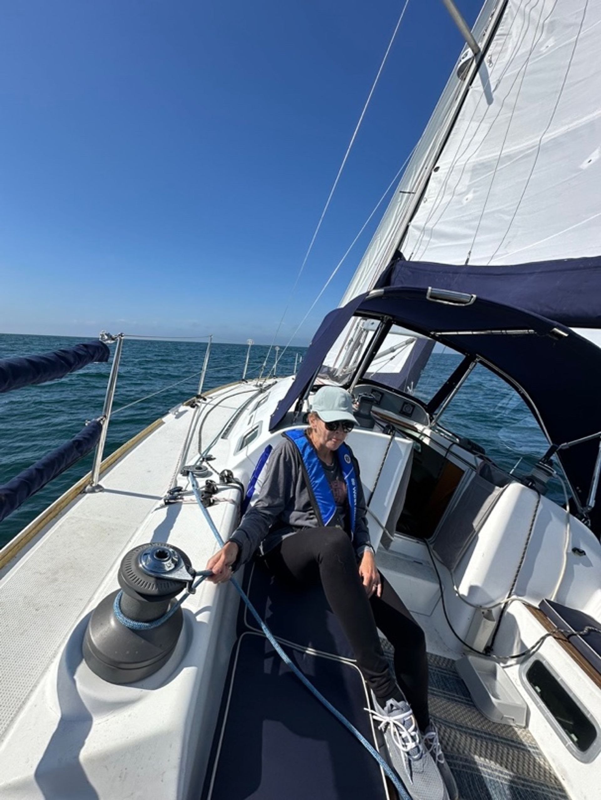
The wind picked up mid-afternoon to around 10 - 12 knots and we turned off the engine again. The boat was sailing close-hauled at 6+ knots and we were pointed pretty close to Channel Island Harbor, cutting the corner off of our prior tip-of-Anacapa waypoint. That seemed like a great move - - - until a large fog/haze bank began moving towards us, the wind backed and headed us back down the coast, and windspeed passed 20 knots apparent. We furled the sails and got the engine going, to power towards Channel Islands Harbor. Through the fog, we could faintly see the marine ship Liberty anchored offshore from Port Hueneme but then it disappeared.
Tenth challenge: Dead reckoning near Port Hueneme fog
Mark thought he could see the Mandalay power plant on shore to the starboard side of our bow. It was to the right of the Liberty ship (but we figured the Marines probably re-anchored their Liberty ship after our departure). So, without checking our location and course on the chart plotter L, Mark brilliantly (his adverb) decided to dead reckon to the right of the power plant where he thought the Channel Islands breakwater must be located. NOT! We now had 25+ knots of apparent wind and pretty good 3’ to 4’ chop with frequent whitecaps. We turned back out towards the Liberty ship to figure things out. Back to the chart plotter and radar, which showed us where we actually were and we got back on course. Mark recalled having read in Fagan’s book that there is another power plant to the south of Port Hueneme (we’re not from the Ventura County area – so still learning local landmarks) so we realized our mistake. Not a good place for a pleasure craft to be heading either, between Port Hueneme and Point Magu – military bases. We were well offshore but still…Duh.
Lesson learned – always confirm your position with available electronics if available.
Arrival Back Home
We motored parallel to shore past Port Hueneme and along Silver Strand Beach until we happily saw the Channel Islands Harbor breakwater. Felt wonderful to re-enter the familiar calm waters of the harbor and coast into our slip a few minutes later!
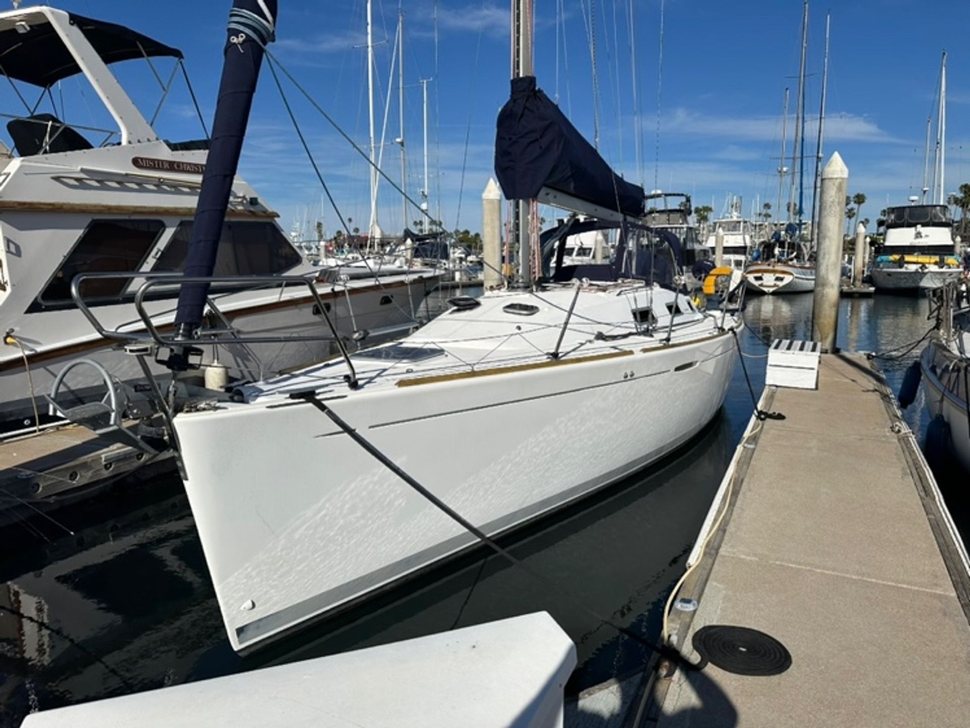
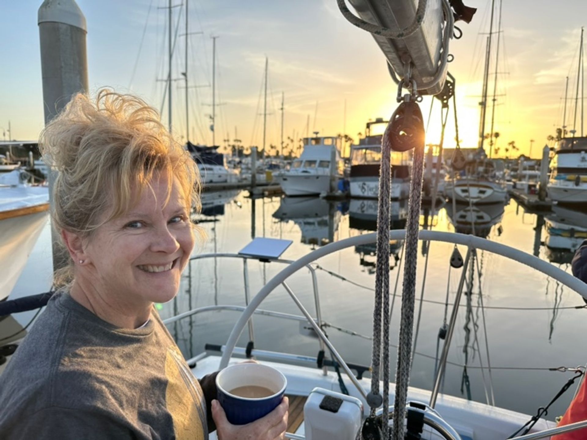
We had arranged a rest day following our return. Slept in, drank coffee, did some boat cleanup, and had a nice dinner out before driving home the following day.
References
(1) Our marine electrician is Mike Cheresnowsky of Boatyard Electric – he’s excellent.
(2) The Cruising Guide to Central and Southern California (Copyright 2002), Brian M. Fagan, International Marine/McGraw Hill